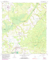
1966 Map of Brooker
USGS Topo · Published 1990About this map
The Seaboard Coast Line and Southern railroads intersect this portion of Bradford and Union counties, anchoring the small community of Brooker and the settlement of Danville. The landscape is defined by the winding course of the New River, which forms the county boundary, and the expansive Mud Swamp to the south. Local life during this mid-century period is marked by numerous rural congregations and resting places, such as New River Ch, Mount Vernon Ch, and the Dedan Cem. The northern reach of the map is dominated by the State Department of Corrections Medical Center and the waters of Pickles Millpond. Notable infrastructure of the era includes a Compressor Station and Radio Tower situated along a network of pipelines that cut across the varied terrain of creeks and ridges.
Find a feature on this map
29 named features on this map. Tap any name to fly to it.
Don’t see what you’re looking for? This feature index may not catch every label — zoom into the map to look around manually.
Map Details
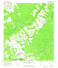
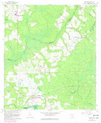
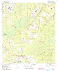
Editions of this 1966 Brooker Map
4 editions found
Other maps of this area

1918 · Lawtey
USGS Topo · 1:62,500

1941 · Starke
USGS Topo · 1:62,500

1948 · Starke
USGS Topo · 1:50,000

1949 · Sampson
USGS Topo · 1:24,000

1949 · Waldo
USGS Topo · 1:24,000

1949 · Starke
USGS Topo · 1:62,500

1954 · Gainesville
USGS Topo · 1:250,000

1954 · Valdosta
USGS Topo · 1:250,000

1958 · Valdosta
USGS Topo · 1:250,000

1958 · Gainesville
USGS Topo · 1:250,000