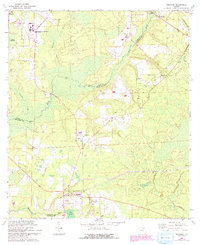
1966 Map of Brooker
USGS Topo · Published 1993About this map
The New River and Santa Fe River define the shifting boundaries of this North Florida landscape, where the confluence of several watercourses like Richard Creek and Fivemile Creek created a low-lying, swampy terrain. Small rural communities and church-centered settlements dot the area, including Brooker, Clayno, and Danville. The transition of the land is evident in the 1990s-era revisions, which show expansion at the State Department of Corrections Medical Center and the presence of a large pipeline corridor cutting across the quadrangle.
Find a feature on this map
29 named features on this map. Tap any name to fly to it.
Don’t see what you’re looking for? This feature index may not catch every label — zoom into the map to look around manually.
Map Details
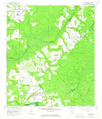
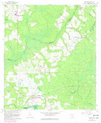
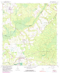
Editions of this 1966 Brooker Map
4 editions found
Other maps of this area

1918 · Lawtey
USGS Topo · 1:62,500

1941 · Starke
USGS Topo · 1:62,500

1948 · Starke
USGS Topo · 1:50,000

1949 · Sampson
USGS Topo · 1:24,000

1949 · Waldo
USGS Topo · 1:24,000

1949 · Starke
USGS Topo · 1:62,500

1954 · Gainesville
USGS Topo · 1:250,000

1954 · Valdosta
USGS Topo · 1:250,000

1958 · Valdosta
USGS Topo · 1:250,000

1958 · Gainesville
USGS Topo · 1:250,000