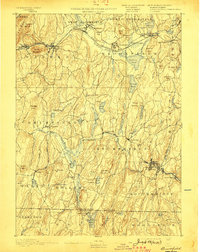
1893 Map of Brookfield
USGS Topo · Published 1898About this map
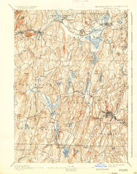
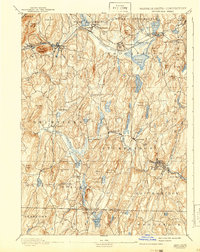
The Boston and Albany Railroad corridor defines the northern industrial and transit landscape, connecting mill towns and settlements like West Warren and East Brookfield along the Quaboag River. To the south, the terrain becomes more industrial and resource-focused near the Massachusetts Connecticut Boundary Line, particularly around the extraction sites of Lead Mine Mountain and the village of Leadmine. Local industry is clearly centered on water power, with clusters of development at Fiskdale, Globe, and Southbridge leveraging the river systems. The map captures an era of dense local infrastructure before modern highway expansion, showing an intricate network of country roads connecting landmarks like Steerage Rock and family-named features such as Foster Hill and Walker Mountain. This survey provides a look at the late 19th-century transition from purely agricultural land to a sophisticated rail-and-manufacturing economy.
Find a feature on this map
104 named features on this map. Tap any name to fly to it.
Don’t see what you’re looking for? This feature index may not catch every label — zoom into the map to look around manually.
Map Details
Editions of this 1893 Brookfield Map
7 editions found

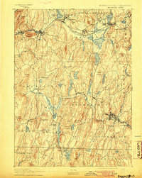
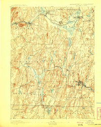
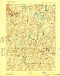
Other maps of this area

1885 · Worcester
USGS Topo · 1:62,500

1886 · Worcester
USGS Topo · 1:62,500

1887 · Brookfield
USGS Topo · 1:62,500

1887 · Palmer
USGS Topo · 1:62,500

1887 · Belchertown
USGS Topo · 1:62,500

1887 · Barre
USGS Topo · 1:62,500

1889 · Webster
USGS Topo · 1:62,500

1889 · Putnam
USGS Topo · 1:62,500

1889 · Palmer
USGS Topo · 1:62,500

1889 · Barre
USGS Topo · 1:62,500