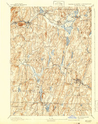
1893 Map of Brookfield
USGS Topo · Published 1942About this map
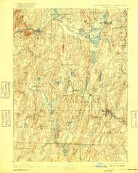
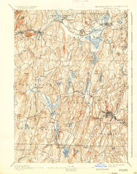
Industrial and agricultural life in central Massachusetts is defined here by the Quinebaug River and Quaboag River valleys during the late nineteenth century. The Boston and Albany RR serves as the primary transport artery, connecting manufacturing hubs like Warren and West Warren with the larger region. The landscape is dotted with several notable water bodies, including Wickaboag Pond and the sprawling Great Swamp near Brookfield.
Find a feature on this map
98 named features on this map. Tap any name to fly to it.
Don’t see what you’re looking for? This feature index may not catch every label — zoom into the map to look around manually.
Map Details
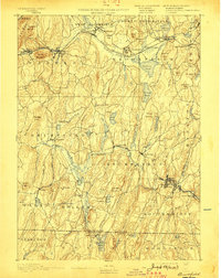
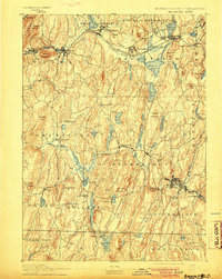
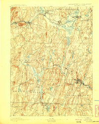
Editions of this 1893 Brookfield Map
7 editions found

Other maps of this area

1885 · Worcester
USGS Topo · 1:62,500

1886 · Worcester
USGS Topo · 1:62,500

1887 · Brookfield
USGS Topo · 1:62,500

1887 · Palmer
USGS Topo · 1:62,500

1887 · Belchertown
USGS Topo · 1:62,500

1887 · Barre
USGS Topo · 1:62,500

1889 · Webster
USGS Topo · 1:62,500

1889 · Putnam
USGS Topo · 1:62,500

1889 · Palmer
USGS Topo · 1:62,500

1889 · Barre
USGS Topo · 1:62,500