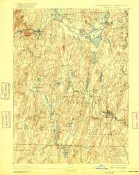
1893 Map of Brookfield
USGS Topo · Published 1916About this map
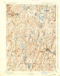
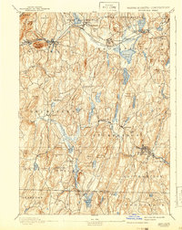
The Boston and Albany RR corridor defines the northern landscape of this region, connecting the industrial and agricultural hubs of West Warren, Warren, and West Brookfield. This survey, conducted in the 1880s, reveals a dense network of hill-country settlements and water-powered industries typical of the Quaboag Valley and central Massachusetts Highlands. Further south, the manufacturing legacy of the area is visible in Southbridge and Sandersdale, where the Quinebaug River provided the power necessary for growth.
Find a feature on this map
92 named features on this map. Tap any name to fly to it.
Don’t see what you’re looking for? This feature index may not catch every label — zoom into the map to look around manually.
Map Details
Editions of this 1893 Brookfield Map
7 editions found

Other maps of this area

1885 · Worcester
USGS Topo · 1:62,500

1886 · Worcester
USGS Topo · 1:62,500

1887 · Brookfield
USGS Topo · 1:62,500

1887 · Palmer
USGS Topo · 1:62,500

1887 · Belchertown
USGS Topo · 1:62,500

1887 · Barre
USGS Topo · 1:62,500

1889 · Webster
USGS Topo · 1:62,500

1889 · Putnam
USGS Topo · 1:62,500

1889 · Palmer
USGS Topo · 1:62,500

1889 · Barre
USGS Topo · 1:62,500