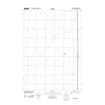
2012 Map of Brookings NE
USGS Topo · Published 2012About this map
The Big Sioux River meanders through the western portion of this Argo Township landscape, defining a rural corridor characterized by a strict section-line road grid. Two historic burial sites, Saint Petri Cem and Deer Creek Cem, serve as important markers for family researchers tracing the township's early Scandinavian or European settlement roots. The eastern side of the survey area shows residential development with the North Grove Addition, highlighting the gradual suburban expansion outward from the nearby regional center. Waterways like N Deer Cr cut diagonally across the survey's township lines, creating natural drainage patterns that contrast with the rectilinear agricultural fields and avenues.
Find a feature on this map
18 named features on this map. Tap any name to fly to it.
Don’t see what you’re looking for? This feature index may not catch every label — zoom into the map to look around manually.
Map Details
Editions of this 2012 Brookings NE Map
This is the sole edition of this map. No revisions or reprints were ever made.
Other maps of this area

1953 · Watertown
USGS Topo · 1:250,000

1958 · Watertown
USGS Topo · 1:250,000

1964 · Brookings
USGS Topo · 1:24,000

1964 · Aurora
USGS Topo · 1:24,000

1968 · Brookings NE
USGS Topo · 1:24,000

1968 · Bruce
USGS Topo · 1:24,000

1968 · Volga
USGS Topo · 1:24,000

1970 · White
USGS Topo · 1:24,000

1970 · Estelline SE
USGS Topo · 1:24,000

1970 · Estelline
USGS Topo · 1:24,000