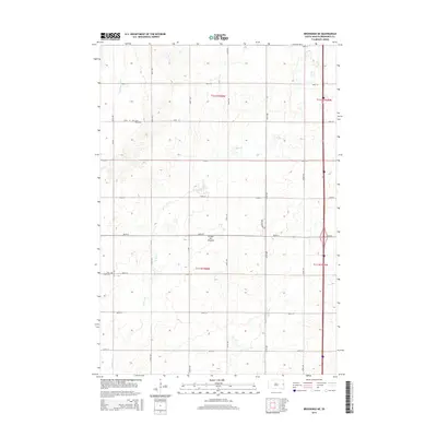
2015 Map of Brookings NE
USGS Topo · Published 2015About this map
The Coteau des Prairies plateau forms the prominent geographic backbone of this region in Brookings County, shaping the drainage of the Big Sioux River and its tributaries like N Deer Cr. During the mid-2010s, this landscape remained largely defined by its township-and-range section grid, with a network of gravel and paved roads such as 470th Ave and 204th St providing access to isolated farmsteads and agricultural plots. For those tracing local history or genealogy, the map identifies two significant burial grounds that speak to the area's early settlement: Saint Petri Cem in the north and Deer Creek Cem further south. These landmarks, along with the meandering path of the river, illustrate the persistent relationship between the prairie terrain and the rural communities established here.
Find a feature on this map
25 named features on this map. Tap any name to fly to it.
Don’t see what you’re looking for? This feature index may not catch every label — zoom into the map to look around manually.
Map Details
Editions of this 2015 Brookings NE Map
This is the sole edition of this map. No revisions or reprints were ever made.
Other maps of this area

1953 · Watertown
USGS Topo · 1:250,000

1958 · Watertown
USGS Topo · 1:250,000

1964 · Brookings
USGS Topo · 1:24,000

1964 · Aurora
USGS Topo · 1:24,000

1968 · Brookings NE
USGS Topo · 1:24,000

1968 · Bruce
USGS Topo · 1:24,000

1968 · Volga
USGS Topo · 1:24,000

1970 · White
USGS Topo · 1:24,000

1970 · Estelline SE
USGS Topo · 1:24,000

1970 · Estelline
USGS Topo · 1:24,000