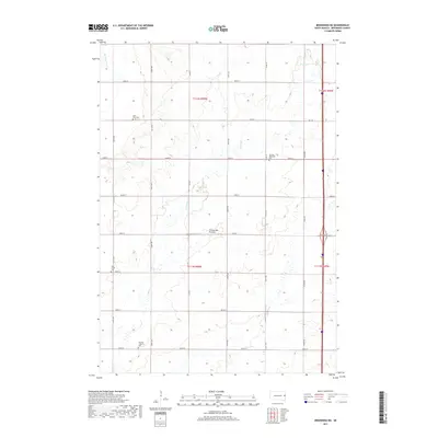
2017 Map of Brookings NE
USGS Topo · Published 2017About this map
Coteau des Prairies, the vast glacial upland that divides the Missouri and Mississippi watersheds, dominates this portion of Brookings County. The landscape is defined by a grid of rural roads and the meandering courses of the Big Sioux River and N Deer Cr. For genealogists and local historians, the sheet is an essential record of community anchors in this agricultural region. Four distinct burial grounds—Saint Petri Cem, Sterling Methodist Cem, Sterling Lutheran Cem, and Deer Creek Cem—serve as landmarks for the early 21st-century rural population. The township and range lines of t112n r50w, t112n r49w, t111n r50w, and t111n r49w intersect here, showing the enduring structure of South Dakota's Public Land Survey System.
Find a feature on this map
29 named features on this map. Tap any name to fly to it.
Don’t see what you’re looking for? This feature index may not catch every label — zoom into the map to look around manually.
Map Details
Editions of this 2017 Brookings NE Map
This is the sole edition of this map. No revisions or reprints were ever made.
Other maps of this area

1953 · Watertown
USGS Topo · 1:250,000

1958 · Watertown
USGS Topo · 1:250,000

1964 · Brookings
USGS Topo · 1:24,000

1964 · Aurora
USGS Topo · 1:24,000

1968 · Brookings NE
USGS Topo · 1:24,000

1968 · Bruce
USGS Topo · 1:24,000

1968 · Volga
USGS Topo · 1:24,000

1970 · White
USGS Topo · 1:24,000

1970 · Estelline SE
USGS Topo · 1:24,000

1970 · Estelline
USGS Topo · 1:24,000