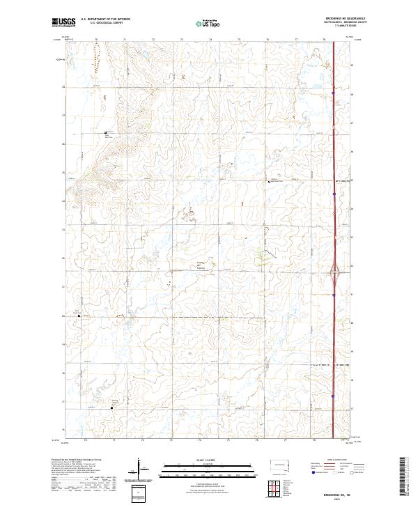
2021 Map of Brookings NE
USGS Topo · Published 2021About this map
The Coteau des Prairies highland region defines the topography of this Brookings County landscape, where the Big Sioux River flows along the western edge. This modern digital survey reveals a persistent agricultural grid defined by section lines like 468th Ave and 200th St, punctuated by several community landmarks that speak to the area's pioneer heritage. Genealogists will find the precise locations of several burial grounds, including Saint Petri Cem and the Sterling Methodist Cem near the eastern border. The drainage patterns of N Deer Cr wind through the township, influencing the placement of local routes like Northgrove Loop. The map provides a clear record of rural South Dakota's contemporary infrastructure, from established county roads to the smaller tracks serving the upland prairies.
Find a feature on this map
27 named features on this map. Tap any name to fly to it.
Don’t see what you’re looking for? This feature index may not catch every label — zoom into the map to look around manually.
Map Details
Editions of this 2021 Brookings NE Map
This is the sole edition of this map. No revisions or reprints were ever made.
Other maps of this area

1953 · Watertown
USGS Topo · 1:250,000

1958 · Watertown
USGS Topo · 1:250,000

1964 · Brookings
USGS Topo · 1:24,000

1964 · Aurora
USGS Topo · 1:24,000

1968 · Brookings NE
USGS Topo · 1:24,000

1968 · Bruce
USGS Topo · 1:24,000

1968 · Volga
USGS Topo · 1:24,000

1970 · White
USGS Topo · 1:24,000

1970 · Estelline SE
USGS Topo · 1:24,000

1970 · Estelline
USGS Topo · 1:24,000