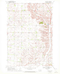
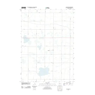
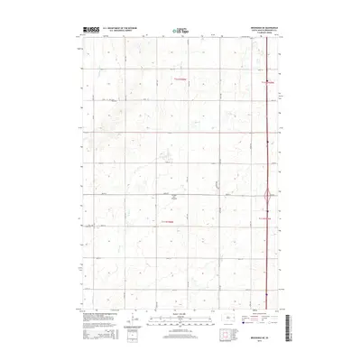
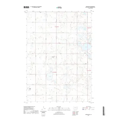
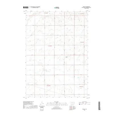
1968 Map of Brookings NE
USGS Topo · Published 1982About this map
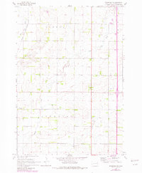
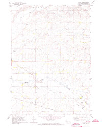
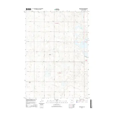
The Big Sioux River flows through the northwestern corner of this landscape, accompanied by the corridor of the Chicago and North Western railroad. This survey, updated with revisions from the late 1970s, reveals a rural grid defined by the townships of Eureka, Sterling, and Afton. The placement of a central Townhall and several small community landmarks suggests a settled agricultural economy dependent on local gathering points and proximity to the rail line.
Find a feature on this map
14 named features on this map. Tap any name to fly to it.
Don’t see what you’re looking for? This feature index may not catch every label — zoom into the map to look around manually.
Map Details
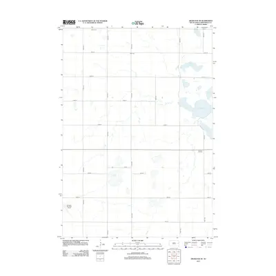
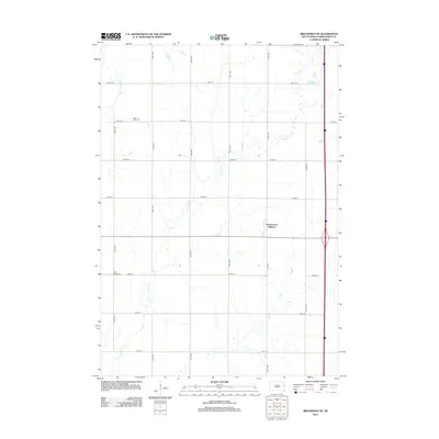
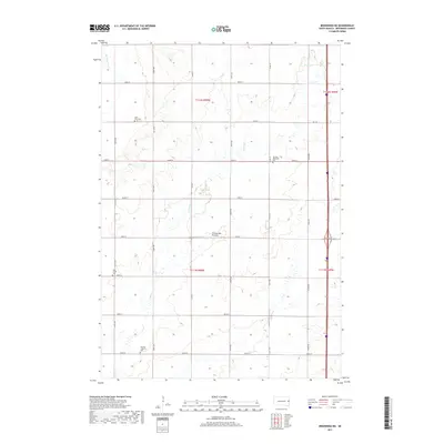
Editions of this 1968 Brookings NE Map
2 editions found
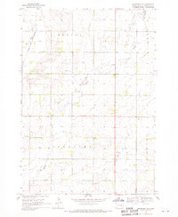
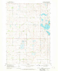
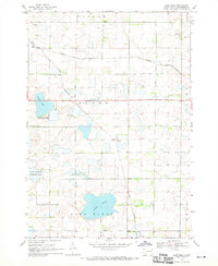
Historical Maps of Argo Township Through Time
25 maps found
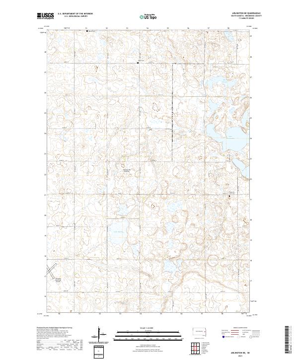
1968 Arlington NE
Brookings County, SD
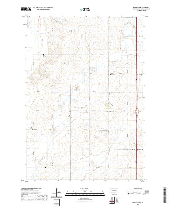
1968 Brookings NE
Brookings County, SD
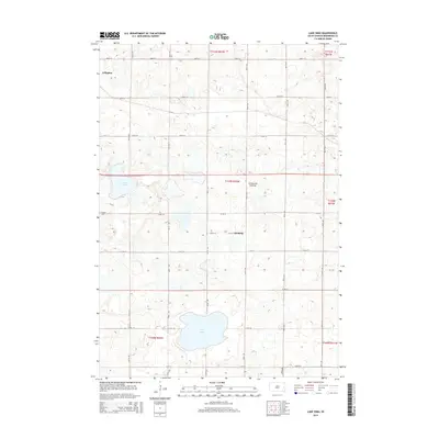
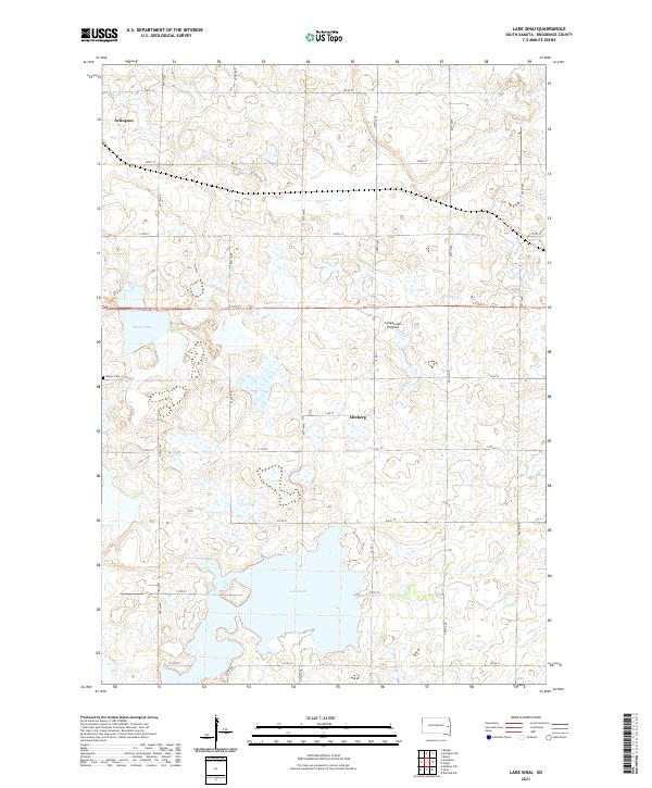
1968 Lake Sinai
Brookings County, SD
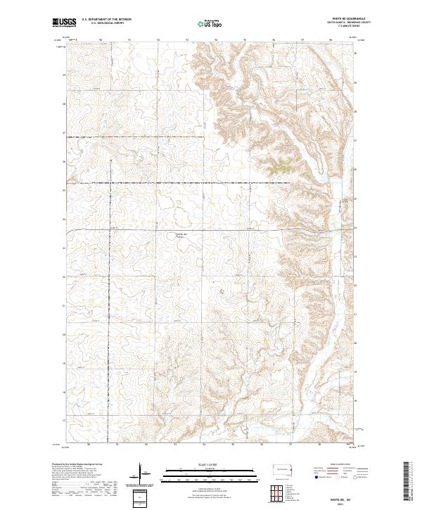
1970 White NE
Brookings County, SD
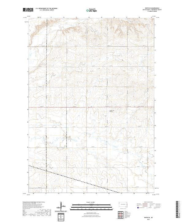
1972 White SE
Brookings County, SD
2012 Arlington NE
Brookings County, SD
2012 Brookings NE
Brookings County, SD
2012 Lake Sinai
Brookings County, SD
2012 White NE
Brookings County, SD
2012 White SE
Brookings County, SD
2015 Arlington NE
Brookings County, SD
2015 Brookings NE
Brookings County, SD
2015 Lake Sinai
Brookings County, SD
2015 White NE
Brookings County, SD
2015 White SE
Brookings County, SD
2017 Arlington NE
Brookings County, SD
2017 Brookings NE
Brookings County, SD
2017 Lake Sinai
Brookings County, SD
2017 White NE
Brookings County, SD
2017 White SE
Brookings County, SD
2021 Arlington NE
Brookings County, SD
2021 Brookings NE
Brookings County, SD
2021 Lake Sinai
Brookings County, SD
2021 White NE
Brookings County, SD
2021 White SE
Brookings County, SD