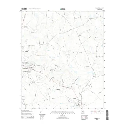
2014 Map of Brooklet
USGS Topo · Published 2014About this map
Statesboro and its southeastern neighbor Brooklet anchor this Bulloch County landscape, which shows a blend of established town centers and expanding residential enclaves. Between these two hubs, smaller settlements like Pretoria and Grimshaw sit along the primary transport corridors. The area is defined by a dense network of country roads and family-named landmarks, reflecting generations of local land use. Water features such as Upper Black Cr and Mill Cr meander through the terrain, while several localized basins like Lee Pond and Youngblood Pond dot the map. Genealogists will find a high concentration of burial sites, including Bulloch Memorial Gardens, Miller Grove Cem, and Corinth Leefield Cem, providing a clear record of local family lineages in the early 21st century.
Find a feature on this map
157 named features on this map. Tap any name to fly to it.
Don’t see what you’re looking for? This feature index may not catch every label — zoom into the map to look around manually.
Map Details
Editions of this 2014 Brooklet Map
This is the sole edition of this map. No revisions or reprints were ever made.
Other maps of this area

1918 · Oliver
USGS Topo · 1:62,500

1920 · Statesboro
USGS Topo · 1:62,500

1920 · Oliver
USGS Topo · 1:62,500

1921 · Brooklet
USGS Topo · 1:62,500

1921 · Rocky Ford
USGS Topo · 1:62,500

1943 · Brooklet
USGS Topo · 1:62,500

1943 · Rocky Ford
USGS Topo · 1:62,500

1943 · Millen
USGS Topo · 1:125,000

1943 · Statesboro
USGS Topo · 1:62,500

1943 · Oliver
USGS Topo · 1:62,500