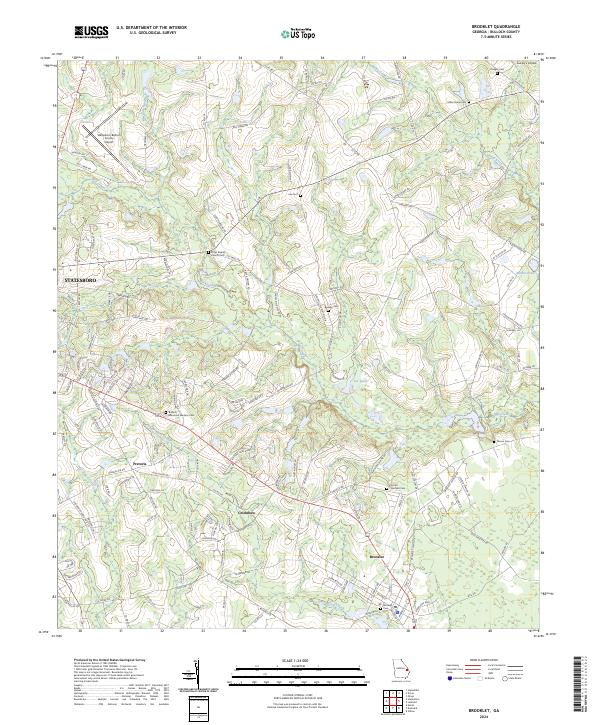
2024 Map of Brooklet
USGS Topo · Published 2024About this map
Brooklet serves as a primary hub in this Bulloch County landscape, where the intersection of traditional agricultural roads and modern infrastructure is evident. To the northwest, the Statesboro-Bulloch County Airport marks the expansion of the regional transportation network, while the small settlements of Pretoria and Grimshaw reflect the more localized history of the area. The map is densely populated with markers of community heritage, including the Elmer Baptist Church and several family-named burial grounds like the Beasley Cem and Moore Cem.
Find a feature on this map
136 named features on this map. Tap any name to fly to it.
Don’t see what you’re looking for? This feature index may not catch every label — zoom into the map to look around manually.
Map Details
Editions of this 2024 Brooklet Map
This is the sole edition of this map. No revisions or reprints were ever made.
Other maps of this area

1918 · Oliver
USGS Topo · 1:62,500

1920 · Statesboro
USGS Topo · 1:62,500

1920 · Oliver
USGS Topo · 1:62,500

1921 · Brooklet
USGS Topo · 1:62,500

1921 · Rocky Ford
USGS Topo · 1:62,500

1943 · Brooklet
USGS Topo · 1:62,500

1943 · Rocky Ford
USGS Topo · 1:62,500

1943 · Millen
USGS Topo · 1:125,000

1943 · Statesboro
USGS Topo · 1:62,500

1943 · Oliver
USGS Topo · 1:62,500