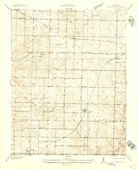
1936 Map of Brookline
USGS Topo · Published 1936About this map
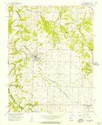
The St Louis - San Francisco railway corridor serves as the industrial spine for this Greene County landscape, connecting the agricultural hubs of Republic and Brookline. Recorded in 1936 by topographer J. M. Holmes, the map reveals a countryside defined by a high density of rural school districts and parish life. One-room schoolhouses like Wyandotte Sch, Mt Aetna Sch, and Jones Sch are spaced across the township, illustrating the community structure before mid-century consolidation.
Find a feature on this map
28 named features on this map. Tap any name to fly to it.
Don’t see what you’re looking for? This feature index may not catch every label — zoom into the map to look around manually.
Map Details
Editions of this 1936 Brookline Map
This is the sole edition of this map. No revisions or reprints were ever made.
Other maps of this area

1884 · Springfield
USGS Topo · 1:125,000
1886 · Greenfield
USGS Topo · 1:125,000

1886 · Springfield
USGS Topo · 1:125,000
1888 · Greenfield
USGS Topo · 1:125,000
1919 · Halltown
USGS Topo · 1:62,500
1935 · Springfield
USGS Topo · 1:24,000
1948 · Willard
USGS Topo · 1:24,000
1948 · Ebenezer
USGS Topo · 1:24,000
1954 · Springfield
USGS Topo · 1:250,000
1956 · Ash Grove
USGS Topo · 1:24,000