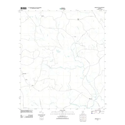
2011 Map of Brooklyn
USGS Topo · Published 2011About this map
The Sepulga River meanders through the southeastern corner of this landscape, anchoring a network of waterways that includes Amos Mill Creek and Polly Creek. Small rural settlements like Brooklyn, Johnsonville, and Spring Hill are connected by a web of local routes such as Brooklyn Rd and County Hwy-42. These roads trace the low ridges and creek bottoms, reflecting a long-standing pattern of southern Alabama agricultural and timber settlement.
Find a feature on this map
31 named features on this map. Tap any name to fly to it.
Don’t see what you’re looking for? This feature index may not catch every label — zoom into the map to look around manually.
Map Details
Editions of this 2011 Brooklyn Map
This is the sole edition of this map. No revisions or reprints were ever made.
Other maps of this area

1953 · Andalusia
USGS Topo · 1:250,000

1957 · Andalusia
USGS Topo · 1:250,000

1971 · Dixie
USGS Topo · 1:24,000

1971 · Brooks
USGS Topo · 1:24,000

1971 · Loango
USGS Topo · 1:24,000

1982 · Shipps Creek
USGS Topo · 1:24,000

1982 · Evergreen
USGS Topo · 1:24,000

1982 · Damascus
USGS Topo · 1:24,000

1982 · Nymph
USGS Topo · 1:24,000

1982 · Old Town
USGS Topo · 1:24,000