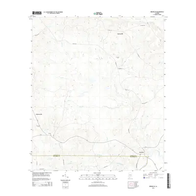
2014 Map of Brooklyn
USGS Topo · Published 2014About this map
Brooklyn sits at the junction of Sepulga River and Amos Mill Creek, anchoring the southern edge of this Conecuh and Escambia County borderland. The landscape is defined by a dense network of watercourses, including Polly Cr, Rawls Cr, and Bearthick Br, which carve through the terrain as they feed into the larger river system. This 2014 survey reveals a region of small, established settlements like Spring Hill and Johnsonville connected by long-standing routes such as Brooklyn Rd and Damascus Rd. Local history and genealogy are highlighted by the presence of Johnston Cem and Horton Cem, while agricultural roots are evident in family-named landmarks like Simms Farm Rd. The transition between counties is marked along a straight boundary line, cutting through the lower reaches of the map near the Amos Mill Cr drainage basin.
Find a feature on this map
35 named features on this map. Tap any name to fly to it.
Don’t see what you’re looking for? This feature index may not catch every label — zoom into the map to look around manually.
Map Details
Editions of this 2014 Brooklyn Map
This is the sole edition of this map. No revisions or reprints were ever made.
Other maps of this area

1953 · Andalusia
USGS Topo · 1:250,000

1957 · Andalusia
USGS Topo · 1:250,000

1971 · Dixie
USGS Topo · 1:24,000

1971 · Brooks
USGS Topo · 1:24,000

1971 · Loango
USGS Topo · 1:24,000

1982 · Shipps Creek
USGS Topo · 1:24,000

1982 · Evergreen
USGS Topo · 1:24,000

1982 · Damascus
USGS Topo · 1:24,000

1982 · Nymph
USGS Topo · 1:24,000

1982 · Old Town
USGS Topo · 1:24,000