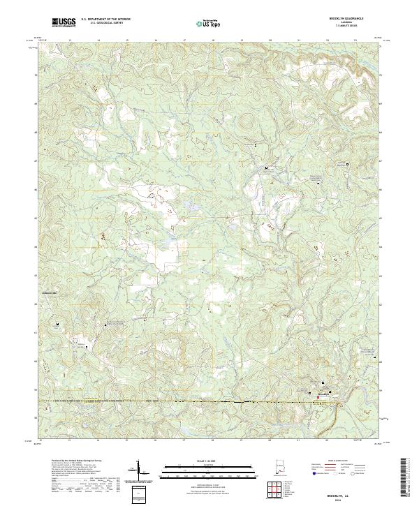
2024 Map of Brooklyn
USGS Topo · Published 2024About this map
Brooklyn sits as the primary hub of this southern Alabama landscape, where the Sepulga River meanders across the border of Conecuh and Escambia Counties. The settlement pattern is defined by rural community churches and numerous family burial grounds, providing a significant resource for genealogical research. Prominent local landmarks include the Sandy Grove Missionary Baptist Church and several distinct cemeteries such as the Robinson Family Cem and the Benjamin Hart Cem.
Find a feature on this map
58 named features on this map. Tap any name to fly to it.
Don’t see what you’re looking for? This feature index may not catch every label — zoom into the map to look around manually.
Map Details
Editions of this 2024 Brooklyn Map
This is the sole edition of this map. No revisions or reprints were ever made.
Other maps of this area

1953 · Andalusia
USGS Topo · 1:250,000

1957 · Andalusia
USGS Topo · 1:250,000

1971 · Dixie
USGS Topo · 1:24,000

1971 · Brooks
USGS Topo · 1:24,000

1971 · Loango
USGS Topo · 1:24,000

1982 · Shipps Creek
USGS Topo · 1:24,000

1982 · Evergreen
USGS Topo · 1:24,000

1982 · Damascus
USGS Topo · 1:24,000

1982 · Nymph
USGS Topo · 1:24,000

1982 · Old Town
USGS Topo · 1:24,000