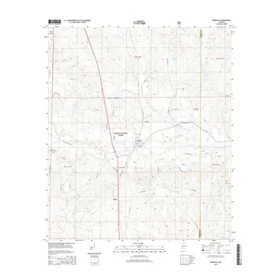
2015 Map of Brooklyn
USGS Topo · Published 2015About this map
Desoto National Forest dominates the landscape of southern Forrest County, where the community of Brooklyn sits as a central hub along the winding path of Black Creek. This 2015 survey reveals a pattern of rural settlement and forestry, with small clusters like Dixie and Currie connected by a network of local forest roads and historical thoroughfares such as Old Hwy 49. The area's genealogical history is well-represented by several family and community burial grounds, including Granny Bounds Cem and Pleasant Hill Cem. The terrain is defined by a dense drainage system of creeks and branches, including Pearces Mill Cr and Griffin Spring Br, which feed into the larger riparian corridor of Black Creek. Several small bodies of water, such as Ashe Lake and Janney Lake, are tucked away within the timberlands, highlighting the region's managed wilderness character.
Find a feature on this map
55 named features on this map. Tap any name to fly to it.
Don’t see what you’re looking for? This feature index may not catch every label — zoom into the map to look around manually.
Map Details
Editions of this 2015 Brooklyn Map
This is the sole edition of this map. No revisions or reprints were ever made.
Other maps of this area

1947 · Wiggins
USGS Topo · 1:62,500

1947 · New Augusta
USGS Topo · 1:62,500

1949 · Wiggins
USGS Topo · 1:62,500

1949 · New Augusta
USGS Topo · 1:62,500

1953 · Hattiesburg
USGS Topo · 1:250,000

1953 · Mobile
USGS Topo · 1:250,000

1957 · Mobile
USGS Topo · 1:250,000

1958 · Hattiesburg
USGS Topo · 1:250,000

1958 · Carnes
USGS Topo · 1:62,500

1960 · Mobile
USGS Topo · 1:250,000