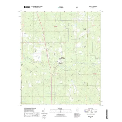
2018 Map of Brooklyn
USGS Topo · Published 2018About this map
Brooklyn sits as the central settlement in this portion of Forrest and Perry Counties, surrounded by the protected lands of the De Soto National Forest. The landscape is defined by the winding course of Black Creek and its many tributaries, including Pearces Mill Cr and Granny Cr. This 2018 survey reveals a terrain heavily influenced by military and conservation efforts, with the southern reaches of MTA Camp Shelby occupying the northeast corner.
Find a feature on this map
58 named features on this map. Tap any name to fly to it.
Don’t see what you’re looking for? This feature index may not catch every label — zoom into the map to look around manually.
Map Details
Editions of this 2018 Brooklyn Map
This is the sole edition of this map. No revisions or reprints were ever made.
Other maps of this area

1947 · Wiggins
USGS Topo · 1:62,500

1947 · New Augusta
USGS Topo · 1:62,500

1949 · Wiggins
USGS Topo · 1:62,500

1949 · New Augusta
USGS Topo · 1:62,500

1953 · Hattiesburg
USGS Topo · 1:250,000

1953 · Mobile
USGS Topo · 1:250,000

1957 · Mobile
USGS Topo · 1:250,000

1958 · Hattiesburg
USGS Topo · 1:250,000

1958 · Carnes
USGS Topo · 1:62,500

1960 · Mobile
USGS Topo · 1:250,000