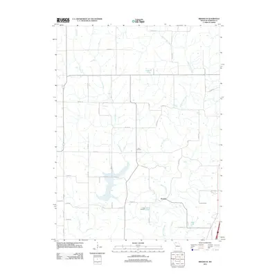
2012 Map of Brooklyn
USGS Topo · Published 2012About this map
Brooklyn is situated near the confluence of several rural watercourses in Harrison County, defined by a landscape of agricultural roads and low-lying drainages. The West Fork Big Creek and Little Creek carve through the terrain, supporting several local reservoirs including Anderson Lake, Craig Lake, and Hintz Lake, which is regulated by the Hintz Lake Dam. This 2012 survey illustrates the enduring rural grid system, where routes like Co Hwy-246 and W Falcon Rd connect isolated homesteads and local landmarks. For those researching family history in the region, the map identifies key burial sites such as Allen Cemetery and Buntin Cemetery, providing essential spatial context for nineteenth and twentieth-century genealogy in this quiet corner of Missouri.
Find a feature on this map
44 named features on this map. Tap any name to fly to it.
Don’t see what you’re looking for? This feature index may not catch every label — zoom into the map to look around manually.
Map Details
Editions of this 2012 Brooklyn Map
This is the sole edition of this map. No revisions or reprints were ever made.
Other maps of this area
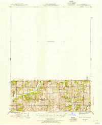
1945 · Mount Ayr
USGS Topo · 1:62,500
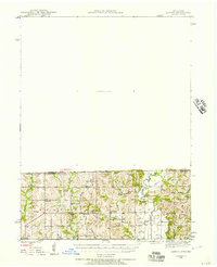
1945 · Lamoni
USGS Topo · 1:62,500
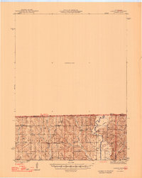
1947 · Lamoni
USGS Topo · 1:62,500
1947 · Blythedale
USGS Topo · 1:62,500
1947 · Mount Ayr
USGS Topo · 1:62,500
1948 · Bethany
USGS Topo · 1:62,500

1954 · Centerville
USGS Topo · 1:250,000
1955 · Nebraska City
USGS Topo · 1:250,000
1957 · Nebraska City
USGS Topo · 1:250,000
1957 · Centerville
USGS Topo · 1:250,000