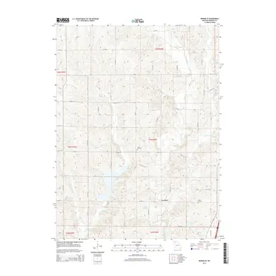
2014 Map of Brooklyn
USGS Topo · Published 2014About this map
Brooklyn sits at the heart of this agricultural landscape in Harrison County, where the topography is defined by the winding paths of W Fork Big Cr and Little Cr. This 2014 survey reveals a rural character sustained by a network of sectional roads and several small impoundments, including Anderson Lake, Hintz Lake, and Craig Lake. For those researching family history in the area, the map precisely locates the Allen Cemetery and Buntin Cemetery, providing essential spatial context for local lineage and burial sites. The drainage patterns of Shain Cr and W Fork Little Cr illustrate the natural watershed that has historically dictated the placement of farmsteads and transport routes through these northern Missouri townships.
Find a feature on this map
28 named features on this map. Tap any name to fly to it.
Don’t see what you’re looking for? This feature index may not catch every label — zoom into the map to look around manually.
Map Details
Editions of this 2014 Brooklyn Map
This is the sole edition of this map. No revisions or reprints were ever made.
Other maps of this area

1945 · Mount Ayr
USGS Topo · 1:62,500

1945 · Lamoni
USGS Topo · 1:62,500

1947 · Lamoni
USGS Topo · 1:62,500

1947 · Blythedale
USGS Topo · 1:62,500

1947 · Mount Ayr
USGS Topo · 1:62,500

1948 · Bethany
USGS Topo · 1:62,500

1954 · Centerville
USGS Topo · 1:250,000

1955 · Nebraska City
USGS Topo · 1:250,000

1957 · Nebraska City
USGS Topo · 1:250,000

1957 · Centerville
USGS Topo · 1:250,000