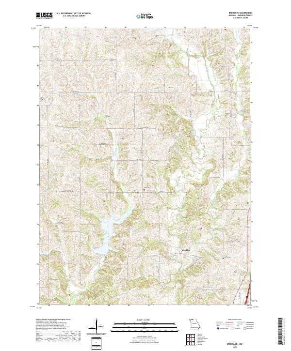
2021 Map of Brooklyn
USGS Topo · Published 2021About this map
The small settlement of Brooklyn sits at the junction of W State Hwy Z and several county routes, serving as a focal point in this portion of Harrison County. The landscape is defined by the winding paths of Little Cr and the W Fork Big Cr, which create a complex system of ridges and valleys across the quadrangle. Small water bodies like Anderson Lake, Hiatt Lake, and Craig Lake are scattered throughout the drainage basins, reflecting the rural water management of the region.
Find a feature on this map
38 named features on this map. Tap any name to fly to it.
Don’t see what you’re looking for? This feature index may not catch every label — zoom into the map to look around manually.
Map Details
Editions of this 2021 Brooklyn Map
This is the sole edition of this map. No revisions or reprints were ever made.
Other maps of this area

1945 · Mount Ayr
USGS Topo · 1:62,500

1945 · Lamoni
USGS Topo · 1:62,500

1947 · Lamoni
USGS Topo · 1:62,500

1947 · Blythedale
USGS Topo · 1:62,500

1947 · Mount Ayr
USGS Topo · 1:62,500

1948 · Bethany
USGS Topo · 1:62,500

1954 · Centerville
USGS Topo · 1:250,000

1955 · Nebraska City
USGS Topo · 1:250,000

1957 · Nebraska City
USGS Topo · 1:250,000

1957 · Centerville
USGS Topo · 1:250,000