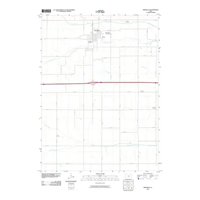
2010 Map of Brooklyn
USGS Topo · Published 2010About this map
Brooklyn serves as the central hub of this Poweshiek County landscape, situated where the terrain is carved by the winding paths of Big Bear Creek and Little Bear Creek. The community's organizational history is evidenced by the International Order of Odd Fellows Cemetery and the Brooklyn Post Office, while the surrounding rural township is marked by several family and community burial grounds including Harmony Cemetery and Lytle Cemetery. To the north, the Val-Air Airport sits near the confluence of Stony Creek and the Bear Creek drainage system. The southern portion of the quadrangle transitions toward the North English River, with a rigid grid of agricultural roads like Old 6 RD and 450th Ave defining the modern land use patterns. This survey illustrates the persistent importance of water drainage to the local economy, from the Dugout Creek in the southwest to the Cub Creek valley in the east.
Find a feature on this map
37 named features on this map. Tap any name to fly to it.
Don’t see what you’re looking for? This feature index may not catch every label — zoom into the map to look around manually.
Map Details
Editions of this 2010 Brooklyn Map
This is the sole edition of this map. No revisions or reprints were ever made.
Other maps of this area

1954 · Des Moines
USGS Topo · 1:250,000

1956 · Des Moines
USGS Topo · 1:250,000

1957 · Des Moines
USGS Topo · 1:250,000

1968 · Deep River
USGS Topo · 1:24,000

1968 · Brooklyn
USGS Topo · 1:24,000

1968 · Belle Plaine SW
USGS Topo · 1:24,000

1968 · Victor
USGS Topo · 1:24,000

1968 · Hartwick
USGS Topo · 1:24,000

1968 · Barnes City
USGS Topo · 1:24,000

1969 · Des Moines
USGS Topo · 1:250,000