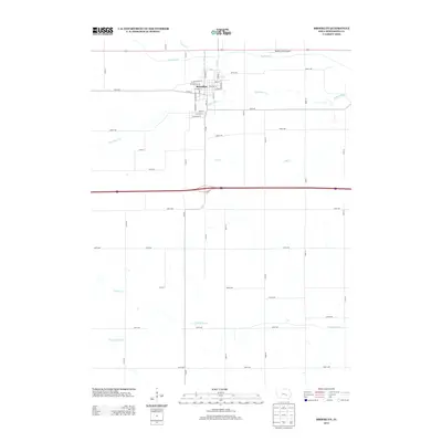
2013 Map of Brooklyn
USGS Topo · Published 2013About this map
Brooklyn serves as the central hub of this eastern Iowa landscape, situated where the grid of the town meets a network of meandering prairie streams. The community's local geography is defined by its street-level detail, from Main St to W Des Moines St, and its proximity to the Little Bear Cr which skirts the town's southern edge. To the north, the Skydive Iowa Airport sits between Stony Cr and Big Bear Cr, marking a modern use of the relatively flat terrain. The southern portion of the quadrangle is dominated by agricultural sections drained by Cub Cr, Dugout Cr, and the N English River. This 2013 survey illustrates the persistence of the rural section-line road system, including the path of Old 6 Rd, which hints at the historical transcontinental highway routes that preceded the modern interstate corridor.
Find a feature on this map
51 named features on this map. Tap any name to fly to it.
Don’t see what you’re looking for? This feature index may not catch every label — zoom into the map to look around manually.
Map Details
Editions of this 2013 Brooklyn Map
This is the sole edition of this map. No revisions or reprints were ever made.
Other maps of this area

1954 · Des Moines
USGS Topo · 1:250,000

1956 · Des Moines
USGS Topo · 1:250,000

1957 · Des Moines
USGS Topo · 1:250,000

1968 · Deep River
USGS Topo · 1:24,000

1968 · Brooklyn
USGS Topo · 1:24,000

1968 · Belle Plaine SW
USGS Topo · 1:24,000

1968 · Victor
USGS Topo · 1:24,000

1968 · Hartwick
USGS Topo · 1:24,000

1968 · Barnes City
USGS Topo · 1:24,000

1969 · Des Moines
USGS Topo · 1:250,000