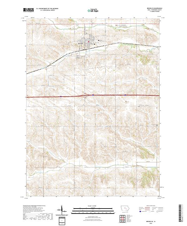
2022 Map of Brooklyn
USGS Topo · Published 2022About this map
Brooklyn serves as the central hub of this eastern Iowa landscape, situated where the terrain begins to ripple with the drainage of Big Bear Creek and Little Bear Creek. The town's grid is well-defined by local landmarks like the Brooklyn Memorial Cemetery and Calvary Cemetery, while the surrounding countryside is characterized by a dense network of sectional roads and watercourses. To the north, the Skydive Iowa Airport marks a modern utility in this predominantly agricultural area.
Find a feature on this map
55 named features on this map. Tap any name to fly to it.
Don’t see what you’re looking for? This feature index may not catch every label — zoom into the map to look around manually.
Map Details
Editions of this 2022 Brooklyn Map
This is the sole edition of this map. No revisions or reprints were ever made.
Other maps of this area

1954 · Des Moines
USGS Topo · 1:250,000

1956 · Des Moines
USGS Topo · 1:250,000

1957 · Des Moines
USGS Topo · 1:250,000

1968 · Deep River
USGS Topo · 1:24,000

1968 · Brooklyn
USGS Topo · 1:24,000

1968 · Belle Plaine SW
USGS Topo · 1:24,000

1968 · Victor
USGS Topo · 1:24,000

1968 · Hartwick
USGS Topo · 1:24,000

1968 · Barnes City
USGS Topo · 1:24,000

1969 · Des Moines
USGS Topo · 1:250,000