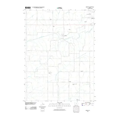
2010 Map of Brooks
USGS Topo · Published 2010About this map
The East Nodaway River winds through this rural section of Adams County, anchoring the small settlement of Brooks and its surrounding agricultural landscape. This 2010 survey illustrates a community deeply rooted in its local geography, where family-named roads like Fig Ave and Garden Ave form a grid across the drainage basins of Kemp Creek and Long Branch. The map is particularly detailed regarding local burial grounds, documenting the Old Brooks Cemetery, Brooks Cemetery, and the Methodist Grove Cemetery, providing a clear spatial record for genealogical research.
Find a feature on this map
47 named features on this map. Tap any name to fly to it.
Don’t see what you’re looking for? This feature index may not catch every label — zoom into the map to look around manually.
Map Details
Editions of this 2010 Brooks Map
This is the sole edition of this map. No revisions or reprints were ever made.
Other maps of this area

1954 · Omaha
USGS Topo · 1:250,000

1955 · Nebraska City
USGS Topo · 1:250,000

1957 · Nebraska City
USGS Topo · 1:250,000

1957 · Omaha
USGS Topo · 1:250,000

1958 · Omaha
USGS Topo · 1:250,000

1958 · Nebraska City
USGS Topo · 1:250,000

1980 · Corning South
USGS Topo · 1:24,000

1980 · Gravity
USGS Topo · 1:24,000

1980 · Guss
USGS Topo · 1:24,000

1980 · Corning North
USGS Topo · 1:24,000