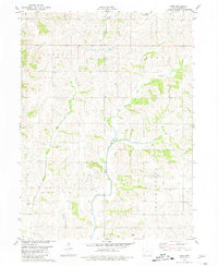
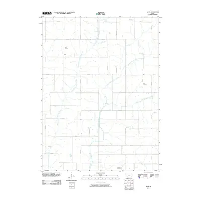
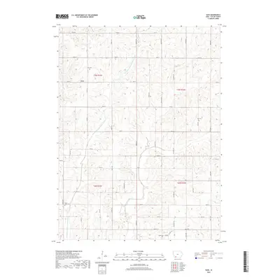
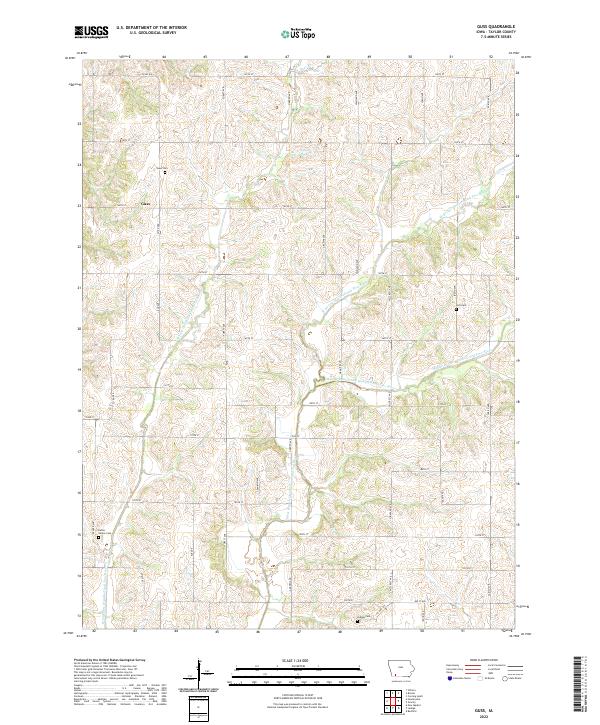
1980 Map of Guss
USGS Topo · Published 1981About this map
One Hundred and Two River dominates the central geography of this Taylor County landscape, carving through the agricultural townships of Nodaway, Holt, Dallas, and Washington. The small settlement of Guss serves as a local anchor in the northwest, situated near the Guss Cem and the Maple Grove Ch. The map reveals a highly structured rural environment defined by section lines and a network of secondary roads that connect isolated farmsteads and historic community sites.
Find a feature on this map
13 named features on this map. Tap any name to fly to it.
Don’t see what you’re looking for? This feature index may not catch every label — zoom into the map to look around manually.
Map Details
Editions of this 1980 Guss Map
This is the sole edition of this map. No revisions or reprints were ever made.
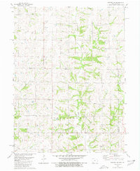
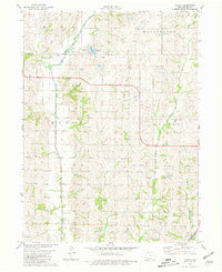
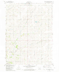
Historical Maps of Guss Through Time
19 maps found
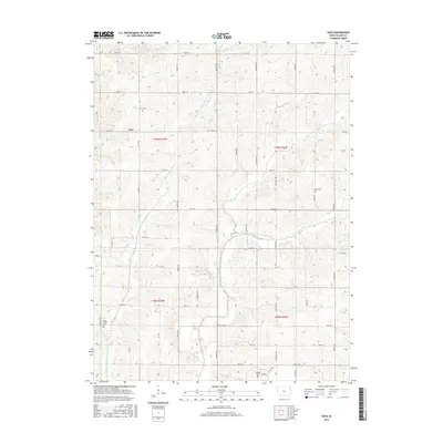
1980 Bedford SW
Taylor County, IA
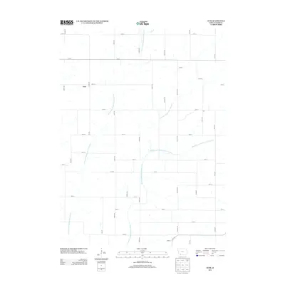
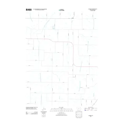
1980 Guss
Taylor County, IA
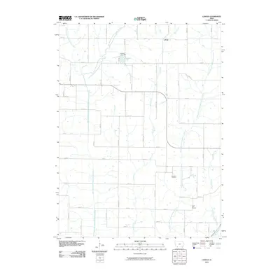
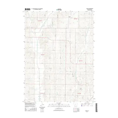
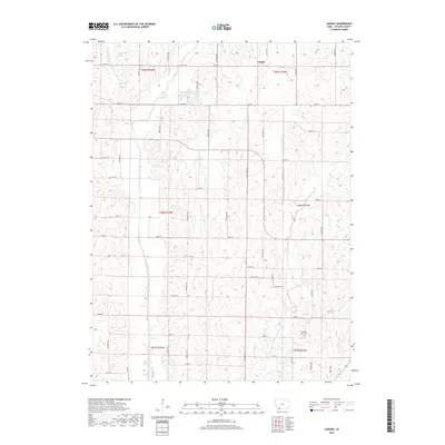
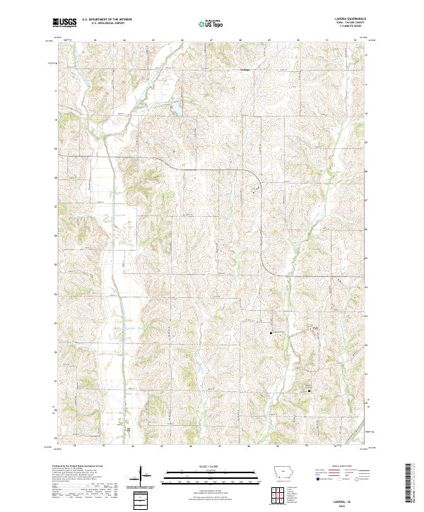
1980 Ladoga
Taylor County, IA
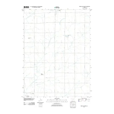
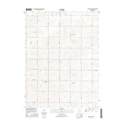
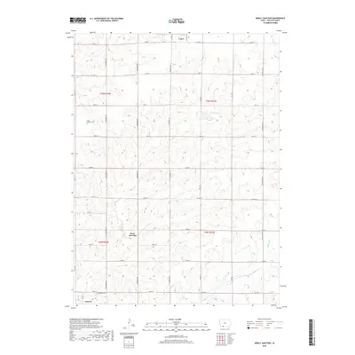
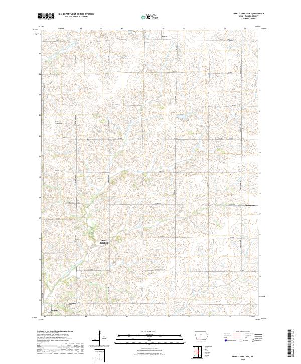
1980 Merle Junction
Taylor County, IA
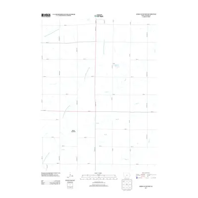
2010 Guss
Taylor County, IA
2010 Ladoga
Taylor County, IA
2010 Merle Junction
Taylor County, IA
2013 Guss
Taylor County, IA
2013 Ladoga
Taylor County, IA
2013 Merle Junction
Taylor County, IA
2015 Guss
Taylor County, IA
2015 Ladoga
Taylor County, IA
2015 Merle Junction
Taylor County, IA
2018 Guss
Taylor County, IA
2018 Ladoga
Taylor County, IA
2018 Merle Junction
Taylor County, IA
2022 Guss
Taylor County, IA
2022 Ladoga
Taylor County, IA
2022 Merle Junction
Taylor County, IA