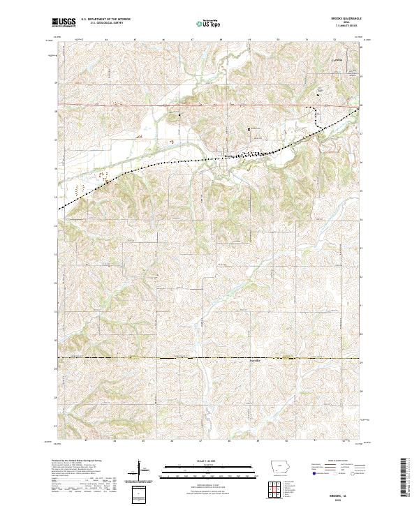
2022 Map of Brooks
USGS Topo · Published 2022About this map
Brooks is the primary settlement on this landscape, positioned north of the winding East Nodaway River. The terrain is defined by a dense network of watercourses, including the W Fork One Hundred and Two River and several smaller tributaries like Kemp Cr and Rose Br. For genealogists and local historians, several burial grounds are documented, such as Old Brooks Cem and Baldwin Cem, which offer clear spatial links to the early residents of Adams and Taylor Counties. The southern margin of the survey area is defined by Adams Taylor St, marking the border between the two counties near the small community of Iveyville. Near the northern edge, the outskirts of Corning are visible, including the Corning Municipal Airport, illustrating how local transportation and infrastructure have integrated with the traditional agricultural grid of range and township lines.
Find a feature on this map
48 named features on this map. Tap any name to fly to it.
Don’t see what you’re looking for? This feature index may not catch every label — zoom into the map to look around manually.
Map Details
Editions of this 2022 Brooks Map
This is the sole edition of this map. No revisions or reprints were ever made.
Other maps of this area

1954 · Omaha
USGS Topo · 1:250,000

1955 · Nebraska City
USGS Topo · 1:250,000

1957 · Nebraska City
USGS Topo · 1:250,000

1957 · Omaha
USGS Topo · 1:250,000

1958 · Omaha
USGS Topo · 1:250,000

1958 · Nebraska City
USGS Topo · 1:250,000

1980 · Corning South
USGS Topo · 1:24,000

1980 · Gravity
USGS Topo · 1:24,000

1980 · Guss
USGS Topo · 1:24,000

1980 · Corning North
USGS Topo · 1:24,000