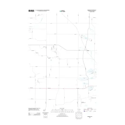
2013 Map of Brooks
USGS Topo · Published 2013About this map
Brooks stands as a focal point in this 2013 survey of Adams County, where a cluster of freshwater lakes defines the local landscape. The map details a transition between rural residential development and the natural waterways of central Wisconsin, featuring a dense network of glacial lakes including Peppermill Lake, Parker Lake, and Deep Lake. The hydrography is further characterized by the winding paths of Neenah Cr and Risk Cr, which thread through the township’s gridded road system.
Find a feature on this map
57 named features on this map. Tap any name to fly to it.
Don’t see what you’re looking for? This feature index may not catch every label — zoom into the map to look around manually.
Map Details
Editions of this 2013 Brooks Map
This is the sole edition of this map. No revisions or reprints were ever made.
Other maps of this area

1901 · The Dells
USGS Topo · 1:62,500

1902 · Briggsville
USGS Topo · 1:62,500

1957 · Wisconsin Dells
USGS Topo · 1:62,500

1957 · Madison
USGS Topo · 1:250,000

1958 · Briggsville
USGS Topo · 1:62,500

1960 · Madison
USGS Topo · 1:250,000

1961 · Oxford
USGS Topo · 1:62,500

1961 · Adams
USGS Topo · 1:62,500
1975 · Wisconsin Dells NE
USGS Topo · 1:24,000
1975 · Big Spring
USGS Topo · 1:24,000