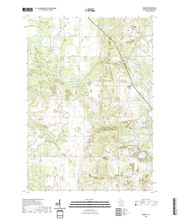
2022 Map of Brooks
USGS Topo · Published 2022About this map
Brooks serves as the primary settlement hub in this central Wisconsin landscape, situated where the glacial topography transitions into a network of kettle lakes and meandering streams. The hydrology is particularly dense in the southeastern quadrant, defined by the waters of Parker Lake, Deep Lake, and Goose Lake. These water bodies, along with Peppermill Creek, illustrate the glacial legacy of Adams County, where small basins and drainage ways dictate the local road network.
Find a feature on this map
49 named features on this map. Tap any name to fly to it.
Don’t see what you’re looking for? This feature index may not catch every label — zoom into the map to look around manually.
Map Details
Editions of this 2022 Brooks Map
This is the sole edition of this map. No revisions or reprints were ever made.
Other maps of this area

1901 · The Dells
USGS Topo · 1:62,500

1902 · Briggsville
USGS Topo · 1:62,500

1957 · Wisconsin Dells
USGS Topo · 1:62,500

1957 · Madison
USGS Topo · 1:250,000

1958 · Briggsville
USGS Topo · 1:62,500

1960 · Madison
USGS Topo · 1:250,000

1961 · Oxford
USGS Topo · 1:62,500

1961 · Adams
USGS Topo · 1:62,500
1975 · Wisconsin Dells NE
USGS Topo · 1:24,000
1975 · Big Spring
USGS Topo · 1:24,000