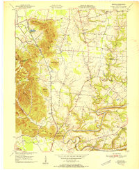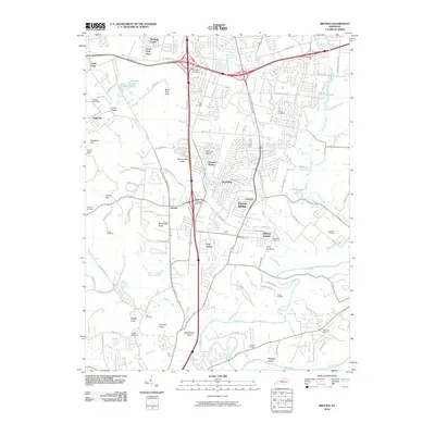
1997 Map of Brooks
USGS Topo · Published 1999About this map
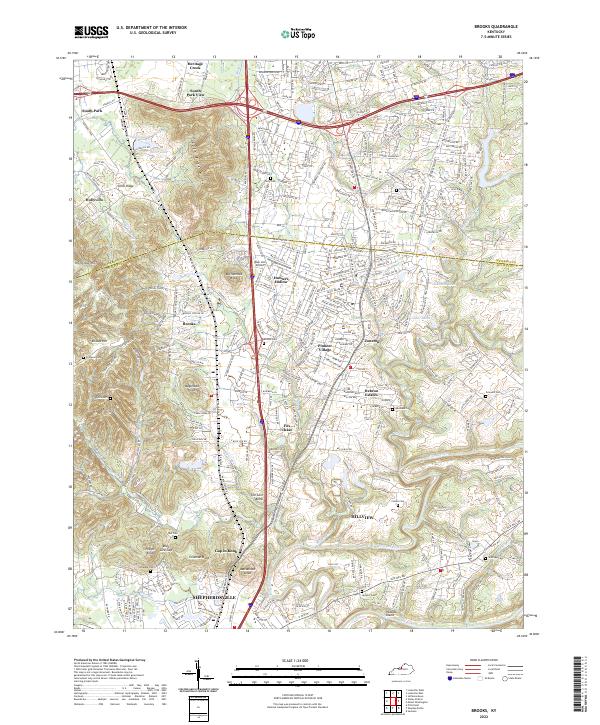
The Jefferson Co Bullitt Co boundary line runs through this landscape, marking the transition between the urban reach of Louisville and the more varied topography to the south. Distinctive terrain features like Buttonmold Knob and Wagonbed Knob rise above the suburban expansion of Hillview and Pioneer Village, while the Salt River and its tributary Floyds Fork define the southern drainage. Industrial activity is visible through several quarries and the brickkilns near Coral Ridge.
Find a feature on this map
100 named features on this map. Tap any name to fly to it.
Don’t see what you’re looking for? This feature index may not catch every label — zoom into the map to look around manually.
Map Details
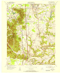
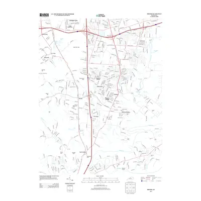
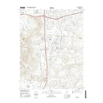
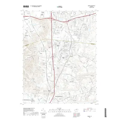
Editions of this 1997 Brooks Map
This is the sole edition of this map. No revisions or reprints were ever made.
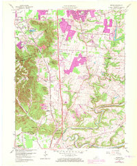
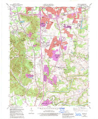
Historical Maps of Louisville Through Time
10 maps found