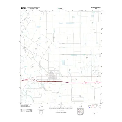
2010 Map of Brookshire
USGS Topo · Published 2010About this map
Brookshire serves as a central hub in this Waller County landscape, where the grid of the city meets an extensive network of rural roads and aviation facilities. The community of Pattison sits to the northwest, connected by FM 359 and Wilpitz Rd, while the eastern portion of the map is defined by the small settlements of Cardiff and Johnsue. This area is notable for its concentration of private and specialized airfields, including Air Rice Airport, Sport Flyers Airport, Woods Airport, and Jordan Farms Airport, which suggest a strong agricultural aviation or recreational flying presence.
Find a feature on this map
58 named features on this map. Tap any name to fly to it.
Don’t see what you’re looking for? This feature index may not catch every label — zoom into the map to look around manually.
Map Details
Editions of this 2010 Brookshire Map
This is the sole edition of this map. No revisions or reprints were ever made.
Other maps of this area

1915 · Katy
USGS Topo · 1:24,000

1916 · Swanson
USGS Topo · 1:24,000

1919 · Swanson
USGS Topo · 1:31,680

1950 · Houston
USGS Topo · 1:250,000

1953 · Seguin
USGS Topo · 1:250,000

1955 · Brookshire
USGS Topo · 1:62,500

1955 · Richmond
USGS Topo · 1:62,500

1956 · Sealy
USGS Topo · 1:62,500

1956 · Wallis
USGS Topo · 1:62,500

1956 · Houston
USGS Topo · 1:250,000