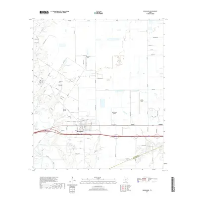
2019 Map of Brookshire
USGS Topo · Published 2019About this map
Brookshire and Pattison anchor this coastal prairie landscape where the expanding footprint of the Houston metropolitan area meets established agricultural roots. The map reveals a transition from traditional town grids and rural cemeteries, such as Wilpitz Cem and Brookshire Memorial Oaks Cem, to modern infrastructure including the Houston Executive Airport and Sport Flyers Airport. Drainage patterns are defined by the winding courses of Bessies Bayou, Kellner Cr, and Willow Fork, which provide a natural contrast to the rigid geometry of the surrounding road network. The boundary between Waller Co Fort Bend Co highlights the regional positioning of this area, while smaller settlements like Cardiff and Johnsue suggest the localized historical centers that have long dotted the plains west of the Brazos River.
Find a feature on this map
100 named features on this map. Tap any name to fly to it.
Don’t see what you’re looking for? This feature index may not catch every label — zoom into the map to look around manually.
Map Details
Editions of this 2019 Brookshire Map
This is the sole edition of this map. No revisions or reprints were ever made.
Other maps of this area

1915 · Katy
USGS Topo · 1:24,000

1916 · Swanson
USGS Topo · 1:24,000

1919 · Swanson
USGS Topo · 1:31,680

1950 · Houston
USGS Topo · 1:250,000

1953 · Seguin
USGS Topo · 1:250,000

1955 · Brookshire
USGS Topo · 1:62,500

1955 · Richmond
USGS Topo · 1:62,500

1956 · Sealy
USGS Topo · 1:62,500

1956 · Wallis
USGS Topo · 1:62,500

1956 · Houston
USGS Topo · 1:250,000