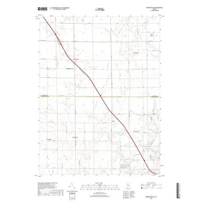
2019 Map of Brookston SW
USGS Topo · Published 2019About this map
Badger Grove and the small crossroads of Cairo anchor this section of the Indiana plains along the boundary of White and Tippecanoe Counties. The landscape is defined by a systematic network of agricultural drainage, featuring named waterways like Chilton Ditch, Myers Ditch, and Brown Ditch that feed into Burnett Creek and Indian Creek. These engineered channels illustrate the long-term conversion of this region into highly productive farmland.
Find a feature on this map
45 named features on this map. Tap any name to fly to it.
Don’t see what you’re looking for? This feature index may not catch every label — zoom into the map to look around manually.
Map Details
Editions of this 2019 Brookston SW Map
This is the sole edition of this map. No revisions or reprints were ever made.
Other maps of this area

1941 · Lafayette
USGS Topo · 1:24,000

1942 · Otterbein
USGS Topo · 1:24,000

1942 · Lafayette
USGS Topo · 1:24,000

1950 · Lafayette
USGS Topo · 1:24,000

1951 · Otterbein
USGS Topo · 1:24,000

1953 · Danville
USGS Topo · 1:250,000

1955 · Danville
USGS Topo · 1:250,000

1956 · Danville
USGS Topo · 1:250,000

1961 · Lafayette East
USGS Topo · 1:24,000

1961 · Otterbein
USGS Topo · 1:24,000