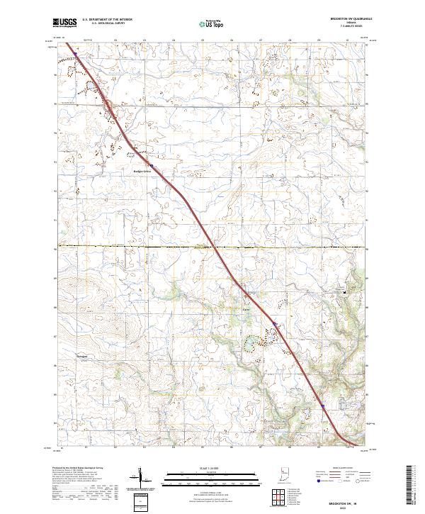
2022 Map of Brookston SW
USGS Topo · Published 2022About this map
Badger Grove and Cairo anchor this section of the Indiana countryside where the border between White and Tippecanoe counties is defined by a grid of agricultural lands and local drainage systems. The landscape is characterized by a sophisticated network of managed waterways including Myers Ditch, Rayman Ditch, and Chilton Ditch, which support the intensive farming traditional to the region. These artificial and straightened channels coexist with the natural meandering of Moots Creek and Burnett Creek. Small historical centers like Octagon remain as evidence of early settlement patterns, while the Liberty Chapel Cem provides a genealogical link to the area's pioneer families. The presence of these distinct place names alongside modern residential developments near Macbeth Dr and Buchanan Dr illustrates the gradual shift from a purely agrarian economy to one influenced by neighboring urban expansion.
Find a feature on this map
50 named features on this map. Tap any name to fly to it.
Don’t see what you’re looking for? This feature index may not catch every label — zoom into the map to look around manually.
Map Details
Editions of this 2022 Brookston SW Map
This is the sole edition of this map. No revisions or reprints were ever made.
Other maps of this area

1941 · Lafayette
USGS Topo · 1:24,000

1942 · Otterbein
USGS Topo · 1:24,000

1942 · Lafayette
USGS Topo · 1:24,000

1950 · Lafayette
USGS Topo · 1:24,000

1951 · Otterbein
USGS Topo · 1:24,000

1953 · Danville
USGS Topo · 1:250,000

1955 · Danville
USGS Topo · 1:250,000

1956 · Danville
USGS Topo · 1:250,000

1961 · Lafayette East
USGS Topo · 1:24,000

1961 · Otterbein
USGS Topo · 1:24,000