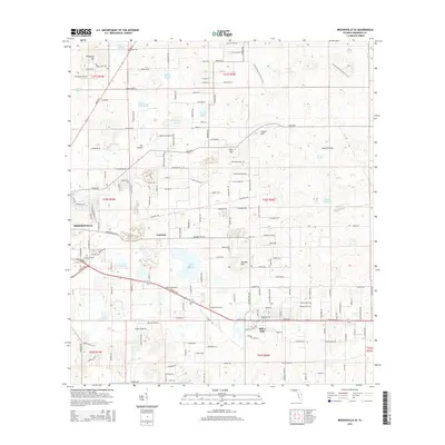
2015 Map of Brooksville SE
USGS Topo · Published 2015About this map
Brooksville and the surrounding Hernando County landscape are defined by a series of distinct topographic rises and seasonal wetlands typical of the Brooksville Ridge. High points such as Chinsetut Hill, Tucker Hill, and Munden Hill overlook a complex network of prairies and ponds, including Wade Prairie, Burns Prairie, and Harris Pond. The presence of Bystre Lake and Irvin Lake indicates the karst-influenced drainage of the region, where water bodies often fluctuate with the aquifer.
Find a feature on this map
172 named features on this map. Tap any name to fly to it.
Don’t see what you’re looking for? This feature index may not catch every label — zoom into the map to look around manually.
Map Details
Editions of this 2015 Brooksville SE Map
This is the sole edition of this map. No revisions or reprints were ever made.
Other maps of this area

1954 · Spring Lake
USGS Topo · 1:24,000

1954 · Brooksville NW
USGS Topo · 1:24,000

1954 · Nobleton
USGS Topo · 1:24,000

1954 · Brooksville
USGS Topo · 1:24,000

1954 · Masaryktown
USGS Topo · 1:24,000

1954 · Brooksville SE
USGS Topo · 1:24,000

1955 · Plant City
USGS Topo · 1:250,000

1958 · Plant City
USGS Topo · 1:250,000

1958 · Wahoo
USGS Topo · 1:24,000

1958 · Saint Catherine
USGS Topo · 1:24,000