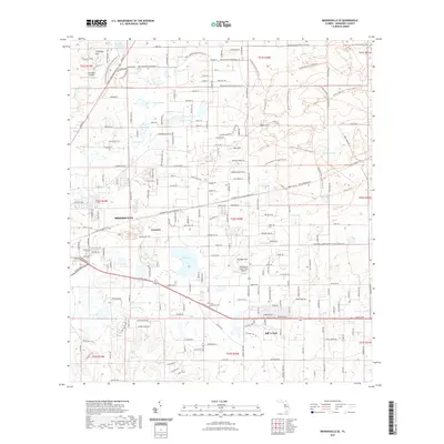
2021 Map of Brooksville SE
USGS Topo · Published 2021About this map
Brooksville serves as the focal point for this survey of eastern Hernando County, where the transition from residential development to the expansive Withlacoochee State Forest is clearly defined. The landscape is characterized by a unique series of topographic elevations and seasonal basins, including Chinsegut Hill in the northwest and Tucker Hill to the east. These high points are contrasted by numerous depressions and prairies such as May Prairie and Burns Prairie, alongside prominent water bodies like Bystre Lake and Harris Pond.
Find a feature on this map
122 named features on this map. Tap any name to fly to it.
Don’t see what you’re looking for? This feature index may not catch every label — zoom into the map to look around manually.
Map Details
Editions of this 2021 Brooksville SE Map
This is the sole edition of this map. No revisions or reprints were ever made.
Other maps of this area

1954 · Spring Lake
USGS Topo · 1:24,000

1954 · Brooksville NW
USGS Topo · 1:24,000

1954 · Nobleton
USGS Topo · 1:24,000

1954 · Brooksville
USGS Topo · 1:24,000

1954 · Masaryktown
USGS Topo · 1:24,000

1954 · Brooksville SE
USGS Topo · 1:24,000

1955 · Plant City
USGS Topo · 1:250,000

1958 · Plant City
USGS Topo · 1:250,000

1958 · Wahoo
USGS Topo · 1:24,000

1958 · Saint Catherine
USGS Topo · 1:24,000