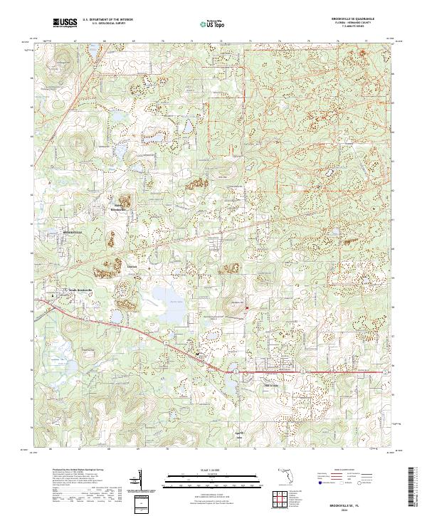
2024 Map of Brooksville SE
USGS Topo · Published 2024About this map
Kirk Hill, Chinsegut Hill, and Tucker Hill rise above a landscape defined by its distinctive karst topography, where numerous ephemeral basins like May Prairie, Burns Prairie, and Wade Prairie punctuate the terrain. The growth of the region is evident in the transition from the core of Brooksville toward peripheral communities such as North Brooksville, South Brooksville, and Hill 'n Dale. Transportation corridors like Cortez Blvd and Snow Memorial Hwy facilitate movement between these residential clusters and the extensive recreational lands within the Withlacoochee State Forest. Genealogists and local researchers can locate the Brooksville Cem near the town center and the Lang Memorial Cem further south. The map also captures the integration of outdoor recreation through a dense network of paths including the Florida National Scenic Trl and the Good Neighbor Trl.
Find a feature on this map
58 named features on this map. Tap any name to fly to it.
Don’t see what you’re looking for? This feature index may not catch every label — zoom into the map to look around manually.
Map Details
Editions of this 2024 Brooksville SE Map
This is the sole edition of this map. No revisions or reprints were ever made.
Other maps of this area

1954 · Spring Lake
USGS Topo · 1:24,000

1954 · Brooksville NW
USGS Topo · 1:24,000

1954 · Nobleton
USGS Topo · 1:24,000

1954 · Brooksville
USGS Topo · 1:24,000

1954 · Masaryktown
USGS Topo · 1:24,000

1954 · Brooksville SE
USGS Topo · 1:24,000

1955 · Plant City
USGS Topo · 1:250,000

1958 · Plant City
USGS Topo · 1:250,000

1958 · Wahoo
USGS Topo · 1:24,000

1958 · Saint Catherine
USGS Topo · 1:24,000