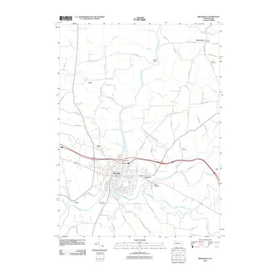
2010 Map of Brookville
USGS Topo · Published 2010About this map
Brookville serves as the focal point of this Jefferson County landscape, situated at the confluence of several key waterways including Redbank Creek, North Fork Redbank Creek, and Sandy Lick Creek. The town's historical infrastructure is evident in the presence of the Brookville Waterworks Dam and a dense network of local roads such as Pennsylvania Ave and Richards St. Moving away from the central hub, the map reveals a series of smaller settlements and family landmarks that define the rural character of the region.
Find a feature on this map
75 named features on this map. Tap any name to fly to it.
Don’t see what you’re looking for? This feature index may not catch every label — zoom into the map to look around manually.
Map Details
Editions of this 2010 Brookville Map
This is the sole edition of this map. No revisions or reprints were ever made.
Other maps of this area

1918 · Loleta
USGS Topo · 1:62,500

1922 · Du Bois
USGS Topo · 1:62,500

1924 · Du Bois
USGS Topo · 1:62,500

1924 · Brookville
USGS Topo · 1:62,500

1926 · Brookville
USGS Topo · 1:62,500

1936 · Marienville
USGS Topo · 1:48,000

1940 · Hallton
USGS Topo · 1:48,000

1941 · Marienville
USGS Topo · 1:62,500

1943 · Hallton
USGS Topo · 1:62,500

1944 · Du Bois
USGS Topo · 1:62,500
Featured Places
- Brookville, PA
- Warsaw Township, PA
- Knox Township, PA
- Pine Creek Township, PA
- Richardsville, Warsaw Township