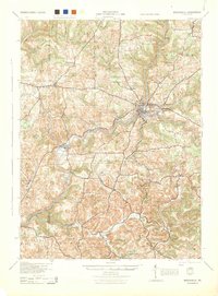
1944 Map of Brookville
USGS Topo · Published 1944About this map
Brookville serves as the regional hub at the confluence of the North Fork and Sandy Lick Creek, where the Pennsylvania railroad line cuts through the river valleys. This mid-century landscape is densely populated with small rural schoolhouses that define the local social geography, including the Furnace Sch, Crate Sch, and Beech Hollow Sch. The surrounding townships like Knox, Eldred, and Beaver are marked by a transition from river-bottom settlements to high-ridge farms.
Find a feature on this map
61 named features on this map. Tap any name to fly to it.
Don’t see what you’re looking for? This feature index may not catch every label — zoom into the map to look around manually.
Map Details
Editions of this 1944 Brookville Map
This is the sole edition of this map. No revisions or reprints were ever made.
Other maps of this area

1901 · Rural Valley
USGS Topo · 1:62,500
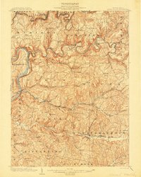
1903 · Rural Valley
USGS Topo · 1:62,500
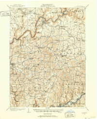
1906 · Clarion
USGS Topo · 1:62,500
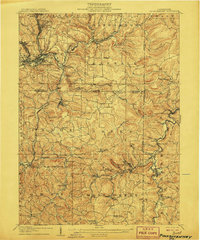
1906 · Punxsutawney
USGS Topo · 1:62,500
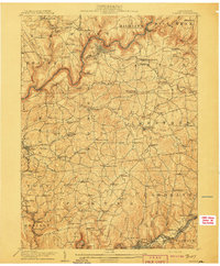
1907 · Clarion
USGS Topo · 1:62,500
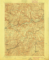
1909 · Smicksburg
USGS Topo · 1:62,500
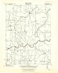
1918 · Loleta
USGS Topo · 1:62,500
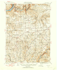
1922 · Tionesta
USGS Topo · 1:62,500

1922 · Du Bois
USGS Topo · 1:62,500

1924 · Du Bois
USGS Topo · 1:62,500