
1955 Map of Brookville
USGS Topo · Published 1956About this map
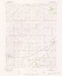
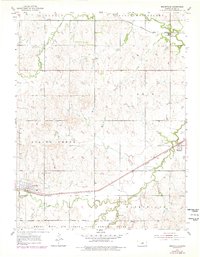
Brookville serves as the primary hub of this Saline County landscape, where the Union Pacific railroad corridor dictates the settlement pattern. The town is flanked by the Brookville Cem and Calvary Cem, providing critical reference points for local genealogists. To the east, the village of Bavaria sits at a rail junction, while Hedville occupies the northern reaches near Mulberry Creek. A striking feature of the southern territory is the Smoky Hill Air Force Base Bombing Range, which marks a significant military footprint on the prairie just a decade after the war. The drainage systems of Spring Creek, West Spring Creek, and Ralston Creek carve through the townships of Glendale and Spring Creek, illustrating the intersection of Kansas agriculture, rail transport, and Cold War military preparation.
Find a feature on this map
20 named features on this map. Tap any name to fly to it.
Don’t see what you’re looking for? This feature index may not catch every label — zoom into the map to look around manually.
Map Details
Editions of this 1955 Brookville Map
3 editions found
Other maps of this area

1892 · Salina
USGS Topo · 1:125,000

1942 · Salina
USGS Topo · 1:125,000

1955 · Salina SW
USGS Topo · 1:24,000

1955 · Trenton
USGS Topo · 1:24,000

1955 · Smolan
USGS Topo · 1:24,000

1955 · Culver
USGS Topo · 1:24,000

1955 · Falun
USGS Topo · 1:24,000

1955 · Hutchinson
USGS Topo · 1:250,000

1957 · Brookville SW
USGS Topo · 1:24,000
1957 · Venango
USGS Topo · 1:24,000