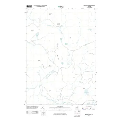
2010 Map of Brother Ponds
USGS Topo · Published 2010About this map
Adirondack Park lands define this interior portion of the North Country, where a complex network of glacial ponds and mountain ridges creates a remote, unsettled landscape. The area is dominated by drainage systems like Blue Mountain Stream and Dead Creek, which snake between prominent heights such as Potter Mountain and Wilson Mountain. This 2010 survey shows the territory in its modern state, largely preserved for wilderness and logging access.
Find a feature on this map
34 named features on this map. Tap any name to fly to it.
Don’t see what you’re looking for? This feature index may not catch every label — zoom into the map to look around manually.
Map Details
Editions of this 2010 Brother Ponds Map
This is the sole edition of this map. No revisions or reprints were ever made.
Other maps of this area

1907 · Tupper Lake
USGS Topo · 1:62,500

1919 · Cranberry Lake
USGS Topo · 1:62,500

1920 · Childwold
USGS Topo · 1:62,500

1921 · Cranberry Lake
USGS Topo · 1:62,500

1921 · Childwold
USGS Topo · 1:48,000

1921 · Stark
USGS Topo · 1:62,500

1922 · Childwold
USGS Topo · 1:62,500

1923 · Stark
USGS Topo · 1:62,500

1931 · Cranberry Lake
USGS Topo · 1:62,500

1940 · Stark
USGS Topo · 1:62,500