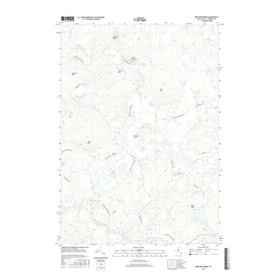
2016 Map of Brother Ponds
USGS Topo · Published 2016About this map
Adirondack Park Preserve lands dominate this interior landscape of St. Lawrence County, defined by a complex network of glacial ponds and watercourses. The drainage patterns are anchored by the South Branch Grass River in the south and the Twin Ponds Outlet to the west, weaving through a terrain of high ridges like Buckhorn Ridge and Hardwood Ridge. The presence of Dismal Swamp and numerous smaller water bodies such as Wolf Pond, Egg Pond, and Lone Pond illustrates the saturated nature of this protected wilderness.
Find a feature on this map
38 named features on this map. Tap any name to fly to it.
Don’t see what you’re looking for? This feature index may not catch every label — zoom into the map to look around manually.
Map Details
Editions of this 2016 Brother Ponds Map
This is the sole edition of this map. No revisions or reprints were ever made.
Other maps of this area

1907 · Tupper Lake
USGS Topo · 1:62,500

1919 · Cranberry Lake
USGS Topo · 1:62,500

1920 · Childwold
USGS Topo · 1:62,500

1921 · Cranberry Lake
USGS Topo · 1:62,500

1921 · Childwold
USGS Topo · 1:48,000

1921 · Stark
USGS Topo · 1:62,500

1922 · Childwold
USGS Topo · 1:62,500

1923 · Stark
USGS Topo · 1:62,500

1931 · Cranberry Lake
USGS Topo · 1:62,500

1940 · Stark
USGS Topo · 1:62,500