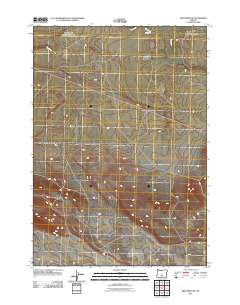
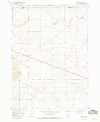
2011 Map of Brothers SW
USGS Topo · Published 2011About this map
Dry River carves a winding path across this high desert landscape in Deschutes County, defining the drainage patterns of an arid region. The terrain is marked by the distinct ephemeral nature of its water systems, where the river channel stands as a prominent geographic feature despite its seasonal flow. Near the northern boundary, Merrill Rd provides a primary point of access, intersecting the expansive grid of the Dry River basin. This 2011 survey by the U.S. Geological Survey illustrates the sparse development of the area, where the vastness of the open range is punctuated only by a handful of established local routes and the natural geometry of the ancient waterway.
Find a feature on this map
2 named features on this map. Tap any name to fly to it.
Don’t see what you’re looking for? This feature index may not catch every label — zoom into the map to look around manually.
Map Details
Editions of this 2011 Brothers SW Map
This is the sole edition of this map. No revisions or reprints were ever made.
Other maps of this area

1955 · Crescent
USGS Topo · 1:250,000

1957 · Crescent
USGS Topo · 1:250,000

1958 · Crescent
USGS Topo · 1:250,000

1966 · Millican SE
USGS Topo · 1:24,000

1967 · Brothers NW
USGS Topo · 1:24,000
1967 · Sugarloaf Butte
USGS Topo · 1:24,000
1967 · Brothers SW
USGS Topo · 1:24,000
1967 · West Butte
USGS Topo · 1:24,000
1967 · Brothers
USGS Topo · 1:24,000

1970 · Crescent
USGS Topo · 1:250,000