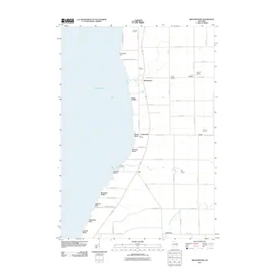
2011 Map of Brothertown
USGS Topo · Published 2011About this map
Lake Winnebago forms the western boundary of this landscape, its shoreline dotted with residential clusters and recreational access points including Calumet Harbor, Artesia Beach, and Laudolf Beach. The eastern shore transitions into an agricultural grid defined by several long-standing cemeteries that suggest the deep lineage of the local population. Small settlements like Brothertown, Jericho, and Johnsburg anchor the interior, while the headwaters of the South Branch Manitowoc River begin their trek toward Lake Michigan. The placement of the Dick Family Cemetery and Morrill Family Cemetery near the lake bluffs indicates early family farmsteads that preceded the modern road network. This survey reveals a community balanced between the maritime influence of the Great Lakes system and the inland farming traditions of Fond du Lac County.
Find a feature on this map
55 named features on this map. Tap any name to fly to it.
Don’t see what you’re looking for? This feature index may not catch every label — zoom into the map to look around manually.
Map Details
Editions of this 2011 Brothertown Map
This is the sole edition of this map. No revisions or reprints were ever made.
Other maps of this area

1910 · Fond du Lac
USGS Topo · 1:62,500

1911 · Neenah
USGS Topo · 1:62,500

1954 · Chilton
USGS Topo · 1:62,500

1954 · Kiel
USGS Topo · 1:62,500

1955 · Neenah
USGS Topo · 1:62,500

1955 · Fond Du Lac
USGS Topo · 1:62,500

1955 · Fond Du Lac
USGS Topo · 1:24,000

1955 · Green Bay
USGS Topo · 1:250,000

1957 · Madison
USGS Topo · 1:250,000

1960 · Madison
USGS Topo · 1:250,000