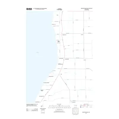
2013 Map of Brothertown
USGS Topo · Published 2013About this map
The eastern shore of Lake Winnebago defines this portion of Fond du Lac County, where a string of lakeside communities and recreational spots line the coast. Settlements such as Brothertown, Calumetville, and Pipe are situated along the primary north-south corridor of US-151, while specialized landing sites like Calumet Harbor and Laudolff Beach provide access to the water. The map reveals a transition from the structured residential clusters at Winnebago Park and Maple Heights to the agricultural interior, where roads like Indian Rd and Kiel Rd branch toward inland hamlets like Jericho and Johnsburg. To the north, Heritage Orchard and the grounds of Camp Shaginappi near Pipe Cr indicate the importance of seasonal land use and conservation along the shoreline. Further inland, the headwaters of the S Br Manitowoc River begin their trek eastward, contrasting with the expansive western horizon of the lake.
Find a feature on this map
51 named features on this map. Tap any name to fly to it.
Don’t see what you’re looking for? This feature index may not catch every label — zoom into the map to look around manually.
Map Details
Editions of this 2013 Brothertown Map
This is the sole edition of this map. No revisions or reprints were ever made.
Other maps of this area

1910 · Fond du Lac
USGS Topo · 1:62,500

1911 · Neenah
USGS Topo · 1:62,500

1954 · Chilton
USGS Topo · 1:62,500

1954 · Kiel
USGS Topo · 1:62,500

1955 · Neenah
USGS Topo · 1:62,500

1955 · Fond Du Lac
USGS Topo · 1:62,500

1955 · Fond Du Lac
USGS Topo · 1:24,000

1955 · Green Bay
USGS Topo · 1:250,000

1957 · Madison
USGS Topo · 1:250,000

1960 · Madison
USGS Topo · 1:250,000