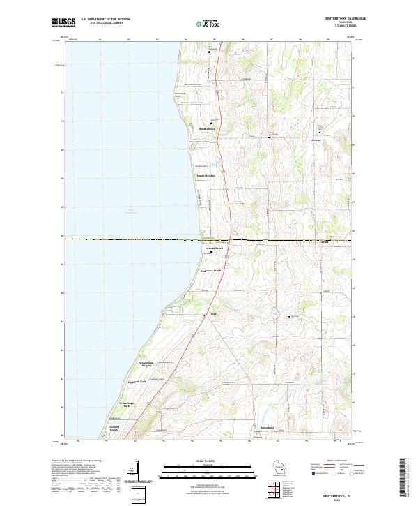
2022 Map of Brothertown
USGS Topo · Published 2022About this map
Lake Winnebago defines the western edge of this landscape, where the shoreline is densely lined with residential clusters such as Brothertown, Highland Park, and Pukwana Beach. The transition from the lakefront to the agricultural interior is marked by a series of family-named landmarks and cemeteries, including the Dick Family Cem and Morrill Family Cem, which offer significant value for genealogical research in Calumet and Fond du Lac counties.
Find a feature on this map
67 named features on this map. Tap any name to fly to it.
Don’t see what you’re looking for? This feature index may not catch every label — zoom into the map to look around manually.
Map Details
Editions of this 2022 Brothertown Map
This is the sole edition of this map. No revisions or reprints were ever made.
Other maps of this area

1910 · Fond du Lac
USGS Topo · 1:62,500

1911 · Neenah
USGS Topo · 1:62,500

1954 · Chilton
USGS Topo · 1:62,500

1954 · Kiel
USGS Topo · 1:62,500

1955 · Neenah
USGS Topo · 1:62,500

1955 · Fond Du Lac
USGS Topo · 1:62,500

1955 · Fond Du Lac
USGS Topo · 1:24,000

1955 · Green Bay
USGS Topo · 1:250,000

1957 · Madison
USGS Topo · 1:250,000

1960 · Madison
USGS Topo · 1:250,000