Loading...
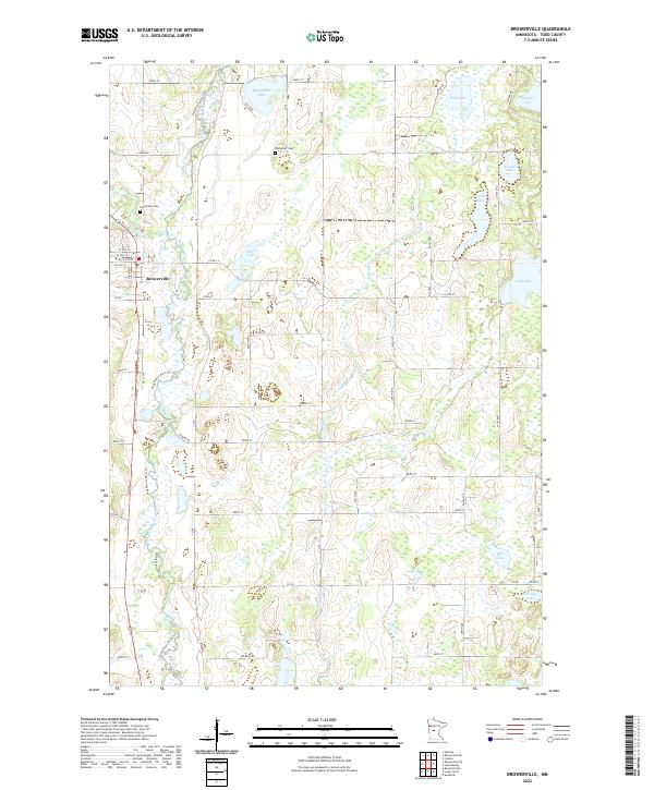
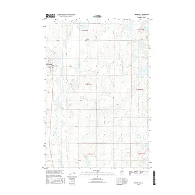
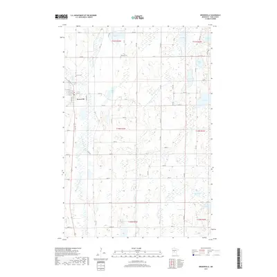
Loading map...2022 Map of Browerville
USGS Topo · Published 2022About this map
Browerville serves as the primary settlement within this central Minnesota landscape, situated along the Long Prairie River Tri and Eagle Cr. The town's grid of streets, including W 5th St and S Gillis Ave, is supported by a Po and neighboring Evergreen Cem. The surrounding terrain is defined by a dense network of glacial water bodies and wetlands, ranging from the prominent Horseshoe Lake in the north to the isolated Rice Lake and Jacobs Lake in the southeast.
Find a feature on this map
65 named features on this map. Tap any name to fly to it.
Don’t see what you’re looking for? This feature index may not catch every label — zoom into the map to look around manually.
Map Details
Date Portrayed2022
Date Published2022
PublisherU.S. Geological Survey
Map TypeTopographic
Scale1:24,000
Physical Dimensions24 x 29 inches
Editions of this 2022 Browerville Map
This is the sole edition of this map. No revisions or reprints were ever made.
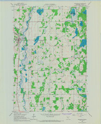
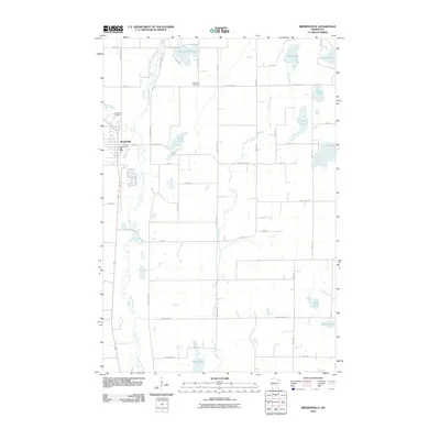
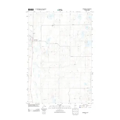
Historical Maps of Browerville Through Time
6 maps found
Featured Locations
Source Details
SourceU.S. Geological Survey
CopyrightPublic Domain