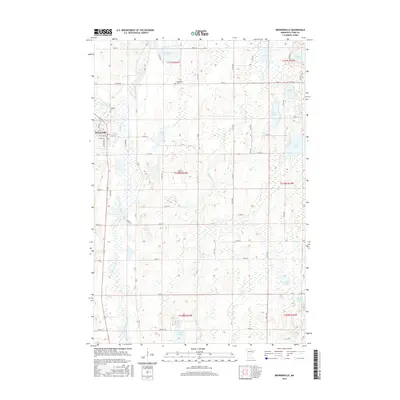
2016 Map of Browerville
USGS Topo · Published 2016About this map
Browerville serves as the primary hub of this central Minnesota landscape, situated along the Long Prairie River and the western edge of the quadrangle. The terrain is defined by a glacial marshland and lake system, with water bodies such as Horseshoe Lake, Sheet Lake, and Long Lake scattered across the township lines. The survey captures a well-defined rural grid of local roads and county routes, including Co 14 and Lagos Rd, which connect various family farmsteads and agricultural plots. Genealogists will find the locations of Evergreen Cem and Weitemier Cem significant for tracing local history. The eastern portion of the map is particularly water-dense, featuring Thunder Lake, Mud Lake, and Rice Lake, reflecting the region's complex hydrology and the drainage patterns of Turtle Cr.
Find a feature on this map
67 named features on this map. Tap any name to fly to it.
Don’t see what you’re looking for? This feature index may not catch every label — zoom into the map to look around manually.
Map Details
Editions of this 2016 Browerville Map
This is the sole edition of this map. No revisions or reprints were ever made.
Other maps of this area

1948 · Cushing
USGS Topo · 1:62,500

1950 · Swanville
USGS Topo · 1:62,500

1950 · Cushing
USGS Topo · 1:62,500

1953 · Brainerd
USGS Topo · 1:250,000

1953 · Saint Cloud
USGS Topo · 1:250,000

1957 · Brainerd
USGS Topo · 1:250,000

1957 · Saint Cloud
USGS Topo · 1:250,000

1958 · Saint Cloud
USGS Topo · 1:250,000

1958 · Brainerd
USGS Topo · 1:250,000

1965 · Brainerd
USGS Topo · 1:250,000