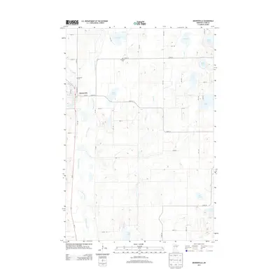
2013 Map of Browerville
USGS Topo · Published 2013About this map
Browerville serves as the central hub of this central Minnesota landscape, situated along the Long Prairie River and the busy corridor of Us-71. The settlement's local history is anchored by the Po downtown, while the surrounding rural township is dotted with family-named landmarks like Weitemier Cem and Evergreen Cem. The terrain is defined by a glacial topography of numerous small basins and wetlands, with Turtle Cr and Eagle Cr draining into the primary river valley.
Find a feature on this map
48 named features on this map. Tap any name to fly to it.
Don’t see what you’re looking for? This feature index may not catch every label — zoom into the map to look around manually.
Map Details
Editions of this 2013 Browerville Map
This is the sole edition of this map. No revisions or reprints were ever made.
Other maps of this area

1948 · Cushing
USGS Topo · 1:62,500

1950 · Swanville
USGS Topo · 1:62,500

1950 · Cushing
USGS Topo · 1:62,500

1953 · Brainerd
USGS Topo · 1:250,000

1953 · Saint Cloud
USGS Topo · 1:250,000

1957 · Brainerd
USGS Topo · 1:250,000

1957 · Saint Cloud
USGS Topo · 1:250,000

1958 · Saint Cloud
USGS Topo · 1:250,000

1958 · Brainerd
USGS Topo · 1:250,000

1965 · Brainerd
USGS Topo · 1:250,000