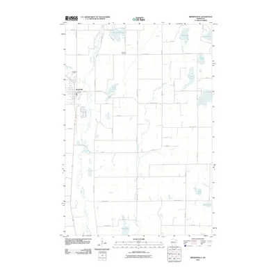
2010 Map of Browerville
USGS Topo · Published 2010About this map
Browerville serves as the central hub of this central Minnesota landscape, where the Long Prairie River meanders through a network of wetlands and prairie. The town's layout is clearly defined, featuring the Browerville Post Office and the Evergreen Cemetery on its northwestern edge near Eagle Creek. The surrounding countryside is defined by an intricate system of water bodies, from the northern Horseshoe Lake and Thunder Lake to the southern reaches of Rice Lake and Jacobs Lake.
Find a feature on this map
39 named features on this map. Tap any name to fly to it.
Don’t see what you’re looking for? This feature index may not catch every label — zoom into the map to look around manually.
Map Details
Editions of this 2010 Browerville Map
This is the sole edition of this map. No revisions or reprints were ever made.
Other maps of this area

1948 · Cushing
USGS Topo · 1:62,500

1950 · Swanville
USGS Topo · 1:62,500

1950 · Cushing
USGS Topo · 1:62,500

1953 · Brainerd
USGS Topo · 1:250,000

1953 · Saint Cloud
USGS Topo · 1:250,000

1957 · Brainerd
USGS Topo · 1:250,000

1957 · Saint Cloud
USGS Topo · 1:250,000

1958 · Saint Cloud
USGS Topo · 1:250,000

1958 · Brainerd
USGS Topo · 1:250,000

1965 · Brainerd
USGS Topo · 1:250,000